We are in the process of migrating all NASA Earth science data sites into Earthdata from now until end of 2026. Not all NASA Earth science data and resources will appear here until then. Thank you for your patience as we make this transition.
Read about the Web Unification Project
SWOT Resources
SWOT Learning Resources
This three-part ARSET training covers flood monitoring via remote sensing, NASA flood products, and GEOGLOWS streamflow predictions.
Training
June 18-25, 2026
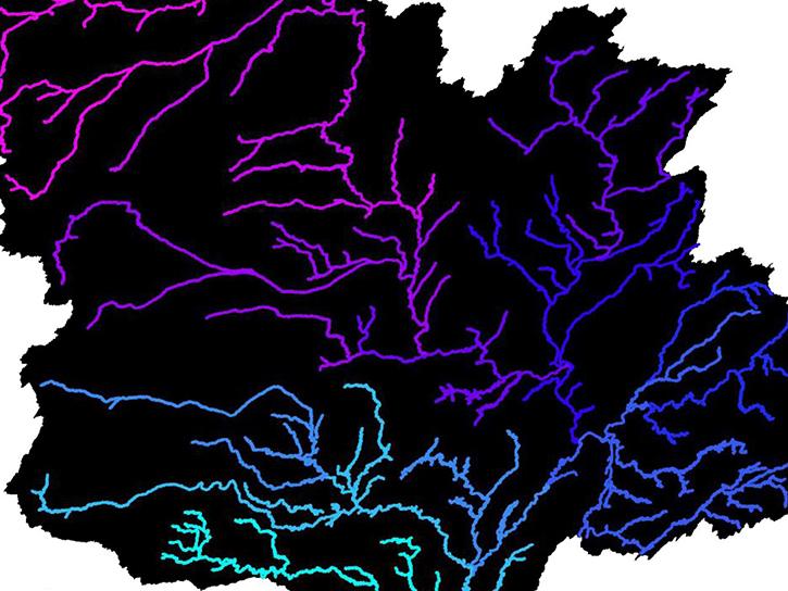
The SWOT Rivers Feature Service is available in both the ArcGIS REST Endpoints and Open Geospatial Consortium (OGC) Endpoints.
External Resource
GitHub Repository
March 29, 2023
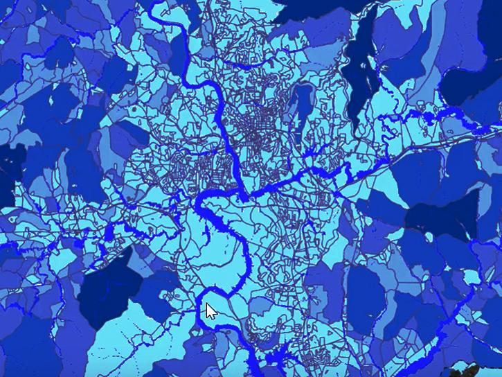
The Emergency Environmental Health Dashboard helped local communities assess water quality risks and infrastructure damage following Hurricane Helene and Tropical Storm Chantal.
Data in Action
Nov. 18, 2025
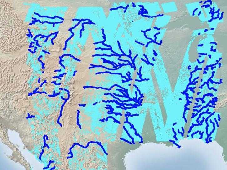
Follow this step-by-step tutorial to upload data into popular and versatile Geographic Information Systems (GIS) programs.
Tutorial
Nov. 17, 2025

Researchers explore using SWOT data to derive two-dimensional estimates of sea ice thickness.
Data in Action
Nov. 13, 2025
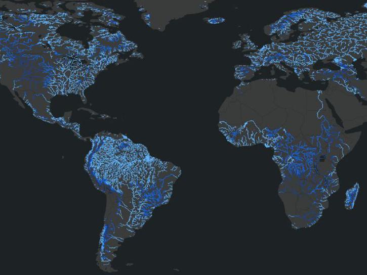
Join us on Wed., July 30 at 2:00 p.m. EDT (-04:00 UTC) to explore SWOT hydrology data collections of rivers and lakes, and to learn how to work with SWOT hydrology data using tools provided by both NASA's PO.DAAC and the USGS.
Webinar
July 18, 2025
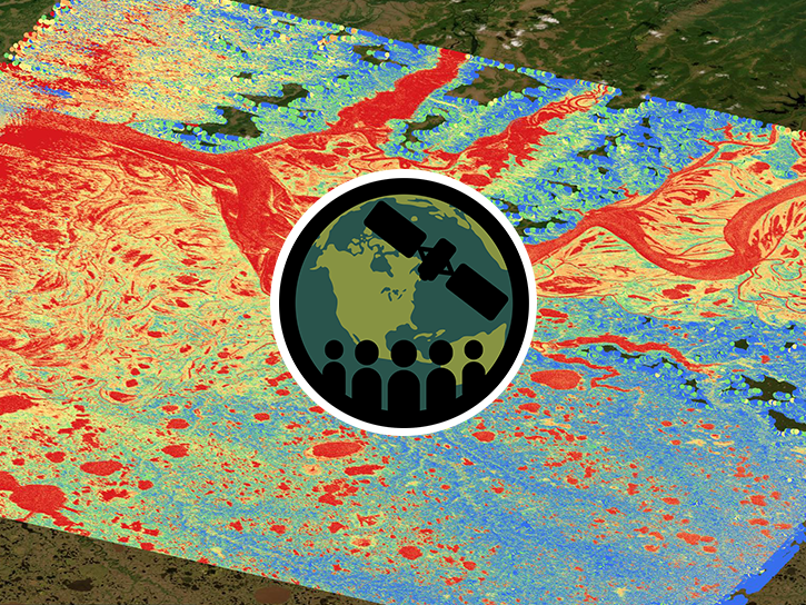
Esta capacitación se enfocará en introducir los datos de agua dulce del satélite SWOT y sus aplicaciones.
Training
May 13-16, 2025
This ARSET training focuses on introducing SWOT freshwater data products and their applications for water resources and disaster management.
Training
May 13-15, 2025
SHOWING 8 OF 18
SWOT News
View All News
Filters

The AGU Fall Meeting Dec 12-16 in Chicago is your chance to learn about the latest NASA Earth data, science, and missions.
Feature Article
Dec. 8, 2022

Data from NASA’s PO.DAAC help scientists like Dr. Jida Wang monitor the state of surface water resources around the globe.
Data User Story
Sept. 29, 2022

Efforts to migrate NASA EOSDIS data into the commercial cloud, an undertaking called Cumulus, made significant strides in 2019.
Feature Article
Feb. 25, 2021

Knowing how users will interact with EOSDIS data in the cloud ensures a more efficient cloud evolution and a cloud architecture that best facilitates data access and use.
Feature Article
Feb. 25, 2021
SHOWING 4 OF 28
Frequently Asked Questions
Earthdata Forum
Our online forum provides a space for users to browse thousands of FAQs about research needs, data, and data applications. You can also submit new questions for our experts to answer.
Submit Questions to Earthdata Forumand View Expert Responses