We are in the process of migrating all NASA Earth science data sites into Earthdata from now until end of 2026. Not all NASA Earth science data and resources will appear here until then. Thank you for your patience as we make this transition.
Read about the Web Unification Project
Terra Resources
Terra Learning Resources

This Jupyter Notebook shows users how to find, access, process and display ASTER Level-2 Surface Kinetic Temperature (AST_08) data.
External Resource
Jupyter Notebook
May 14, 2026

This tutorial provides an outline on how to programmatically search, access, and filter Terra ASTER Version 4 data using the earthaccess Python library.
External Resource
Jupyter Notebook
May 11, 2026

This Jupyter Notebook shows users how to find and access ASTER Level-1 Precision Terrain Corrected Registered at Sensor Radiance (AST_L1T) data.
External Resource
Jupyter Notebook
May 8, 2026

This training covers the theoretical approaches and key datasets to estimate historical PM2.5 from satellite aerosol optical depth.
Training
July 8-22, 2026

This three-part ARSET training covers flood monitoring via remote sensing, NASA flood products, and GEOGLOWS streamflow predictions.
Training
June 18-25, 2026

This ARSET training explores the fundamentals of thermal infrared remote sensing and some applications using ECOSTRESS data to analyze urban heat.
Training
May 26 - June 2, 2026

The USGS EROS User Services team is offering an hour-long webinar to share the data, tools, and services available from the Advanced Spaceborne Thermal Emission and Reflection Radiometer (ASTER) instrument aboard NASA’s Terra satellite.
Webinar
March 26, 2026

This ARSET training covers how to acquire, use, and derive NDVI imagery from Landsat and MODIS.
Training
Feb. 10 - March 2, 2016
SHOWING 8 OF 235
Terra News
View All News
Filters

The new Sea Level Change Data Pathfinder highlights the different datasets used to piece together the status and drivers of sea level rise.
Feature Article
Feb. 18, 2022

Image captured on Jan 11, 2022 by the MODIS instrument aboard the Terra satellite.
Worldview Image of the Week
Feb. 1, 2022

Data from NASA’s ORNL DAAC helps scientists like Dr. Kevin Schaefer detect climate-induced thawing of permafrost throughout the Arctic.
Data User Story
Jan. 31, 2022
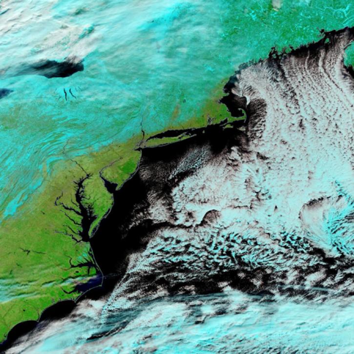
Image captured Jan 30, 2022, by the MODIS instrument aboard the Terra satellite.
Worldview Image of the Week
Jan. 31, 2022

Image captured on Dec. 11, 2021, by the MODIS instrument aboard the Terra satellite.
Worldview Image of the Week
Jan. 29, 2022
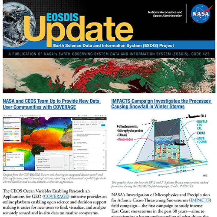
Read about the latest EOSDIS work in the Fall 2021 EOSDIS Update newsletter.
News
Jan. 26, 2022

GeoColor imagery’s quality, frequency, and interpretability will boost the amount of near real-time imagery available in Worldview, making it even more valuable to users.
Feature Article
Jan. 25, 2022

Worldview now has temperature conversion and new tour stories, and GIBS is moving to the cloud!
Blog
Jan. 19, 2022
SHOWING 8 OF 450
Frequently Asked Questions
Earthdata Forum
Our online forum provides a space for users to browse thousands of FAQs about research needs, data, and data applications. You can also submit new questions for our experts to answer.
Submit Questions to Earthdata Forumand View Expert Responses