We are in the process of migrating all NASA Earth science data sites into Earthdata from now until end of 2026. Not all NASA Earth science data and resources will appear here until then. Thank you for your patience as we make this transition.
Read about the Web Unification Project
Terra Resources
Terra Learning Resources

This Jupyter Notebook shows users how to find, access, process and display ASTER Level-2 Surface Kinetic Temperature (AST_08) data.
External Resource
Jupyter Notebook
May 14, 2026

This tutorial provides an outline on how to programmatically search, access, and filter Terra ASTER Version 4 data using the earthaccess Python library.
External Resource
Jupyter Notebook
May 11, 2026

This Jupyter Notebook shows users how to find and access ASTER Level-1 Precision Terrain Corrected Registered at Sensor Radiance (AST_L1T) data.
External Resource
Jupyter Notebook
May 8, 2026

This training covers the theoretical approaches and key datasets to estimate historical PM2.5 from satellite aerosol optical depth.
Training
July 8-22, 2026

This three-part ARSET training covers flood monitoring via remote sensing, NASA flood products, and GEOGLOWS streamflow predictions.
Training
June 18-25, 2026

This ARSET training explores the fundamentals of thermal infrared remote sensing and some applications using ECOSTRESS data to analyze urban heat.
Training
May 26 - June 2, 2026

The USGS EROS User Services team is offering an hour-long webinar to share the data, tools, and services available from the Advanced Spaceborne Thermal Emission and Reflection Radiometer (ASTER) instrument aboard NASA’s Terra satellite.
Webinar
March 26, 2026

This ARSET training covers how to acquire, use, and derive NDVI imagery from Landsat and MODIS.
Training
Feb. 10 - March 2, 2016
SHOWING 8 OF 235
Terra News
View All News
Filters

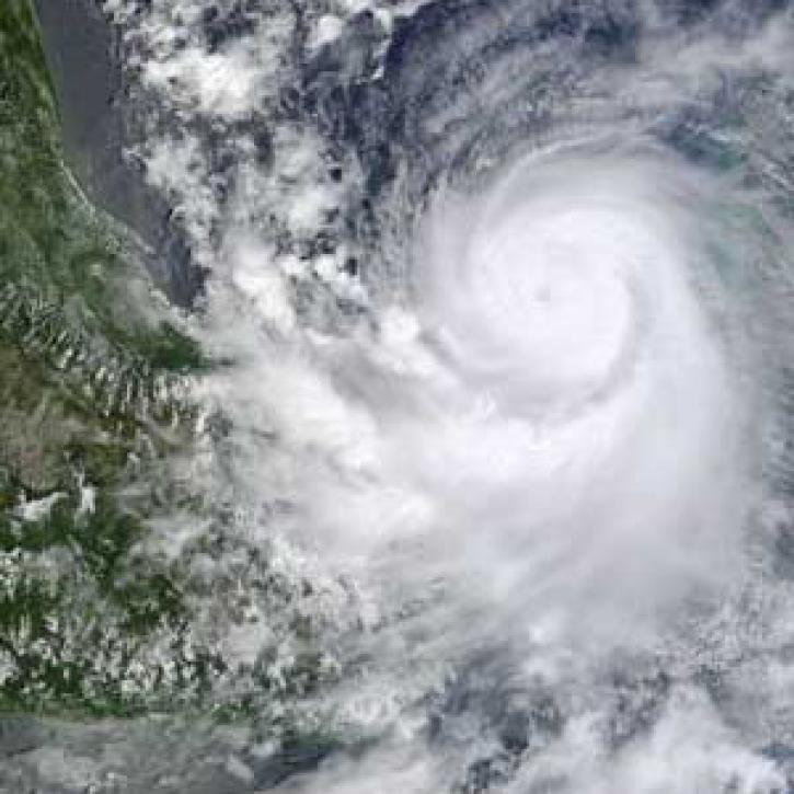
A unique campaign allows scientists to study the effects of Saharan dust storms on Atlantic hurricane development.
Feature Article
April 19, 2021

This ArcGIS StoryMap highlights Data User Profiles, Learning Resources and Worldview imagery layers in support of Earth Day 2021.
Feature Article
April 19, 2021
Hurricane researchers return, asking new questions.
Feature Article
April 19, 2021

ALTUS Cumulus Electrification Study (ACES) help validate LIS data to examine thunderstorms.
Feature Article
April 19, 2021

Models that predict hurricanes use CAMEX, a series of hurricane field research investigations.
Feature Article
April 19, 2021

NASA’s worldwide Fire Information for Resource Management System (FIRMS) provides vital near real-time tools for managing wildland fires.
Feature Article
April 15, 2021

Worldview and GIBS recently released new imagery in version 3.9.1 including MODIS Flood Product and CYGNSS Soil Moisture.
Blog
April 13, 2021

A new Fire Information for Resource Management System (FIRMS) focused on the US and Canada provides expanded capabilities including additional map layers, ownership boundaries, and daily fire dangers.
News
April 13, 2021
SHOWING 8 OF 450
Frequently Asked Questions
Earthdata Forum
Our online forum provides a space for users to browse thousands of FAQs about research needs, data, and data applications. You can also submit new questions for our experts to answer.
Submit Questions to Earthdata Forumand View Expert Responses