We are in the process of migrating all NASA Earth science data sites into Earthdata from now until end of 2026. Not all NASA Earth science data and resources will appear here until then. Thank you for your patience as we make this transition.
Read about the Web Unification Project
Terra Resources
Terra Learning Resources

This Jupyter Notebook shows users how to find, access, process and display ASTER Level-2 Surface Kinetic Temperature (AST_08) data.
External Resource
Jupyter Notebook
May 14, 2026

This tutorial provides an outline on how to programmatically search, access, and filter Terra ASTER Version 4 data using the earthaccess Python library.
External Resource
Jupyter Notebook
May 11, 2026

This Jupyter Notebook shows users how to find and access ASTER Level-1 Precision Terrain Corrected Registered at Sensor Radiance (AST_L1T) data.
External Resource
Jupyter Notebook
May 8, 2026

This training covers the theoretical approaches and key datasets to estimate historical PM2.5 from satellite aerosol optical depth.
Training
July 8-22, 2026

This three-part ARSET training covers flood monitoring via remote sensing, NASA flood products, and GEOGLOWS streamflow predictions.
Training
June 18-25, 2026

This ARSET training explores the fundamentals of thermal infrared remote sensing and some applications using ECOSTRESS data to analyze urban heat.
Training
May 26 - June 2, 2026

The USGS EROS User Services team is offering an hour-long webinar to share the data, tools, and services available from the Advanced Spaceborne Thermal Emission and Reflection Radiometer (ASTER) instrument aboard NASA’s Terra satellite.
Webinar
March 26, 2026

This ARSET training covers how to acquire, use, and derive NDVI imagery from Landsat and MODIS.
Training
Feb. 10 - March 2, 2016
SHOWING 8 OF 235
Terra News
View All News
Filters
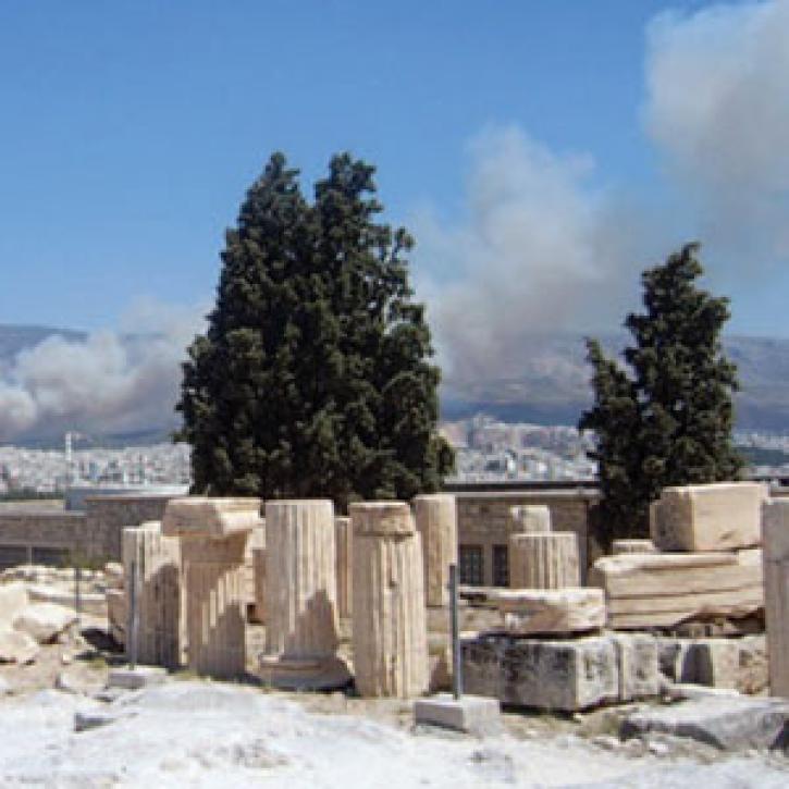
The effects of forest fires show up in a multi-satellite view of pollution.
Feature Article
Dec. 28, 2020


Logbooks, satellites, and game theory help steward tuna in the Pacific.
Feature Article
Dec. 28, 2020
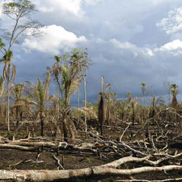
Researchers peer deep into tropical forests, weighing their status as climate balancers.
Feature Article
Dec. 28, 2020
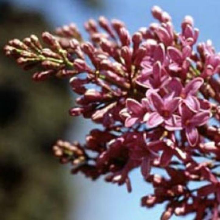
Ground observers and satellites monitor plant life cycles and the timing of seasons.
Feature Article
Dec. 28, 2020

Polar water fuels off-kilter rainfall in the tropics.
Feature Article
Dec. 28, 2020

Vegetation data helps researchers and resource managers develop a new approach to stopping species invasions.
Feature Article
Dec. 28, 2020

Image captured on 20 December 2020, by the MODIS instrument, aboard the Terra satellite.
Worldview Image of the Week
Dec. 28, 2020
SHOWING 8 OF 450
Frequently Asked Questions
Earthdata Forum
Our online forum provides a space for users to browse thousands of FAQs about research needs, data, and data applications. You can also submit new questions for our experts to answer.
Submit Questions to Earthdata Forumand View Expert Responses