We are in the process of migrating all NASA Earth science data sites into Earthdata from now until end of 2026. Not all NASA Earth science data and resources will appear here until then. Thank you for your patience as we make this transition.
Read about the Web Unification Project
Terra Resources
Terra Learning Resources

The Emergency Environmental Health Dashboard helped local communities assess water quality risks and infrastructure damage following Hurricane Helene and Tropical Storm Chantal.
Data in Action
Nov. 18, 2025

This ARSET training introduces participants to several capabilities within FIRMS that were not included in the previous ARSET training.
Training
Jan. 14-21, 2026

Join us on Wed., September 17, 2025, at 2:00 p.m. EDT (-04:00 UTC) to learn how to discover, access, and use NASA's near real-time global flood products .
Webinar
Aug. 29, 2025

The MODIS Near Real-Time (NRT) Global Flood Product helps communities assess the aftermath of flooding in Australia.
Data in Action
July 17, 2025

Join NASA’s LAADS DAAC to learn how new tools available through Harmony services help users work with Level-1 and atmospheric datasets more efficiently.
Webinar
July 16, 2025

The eBird project uses NASA data and observations from amateur birdwatchers to provide insights into the decline in avian populations throughout North America.
Data in Action
June 17, 2025

Agricultural burning in Kansas produces smoky skies and healthy crops.
Data in Action
June 6, 2025

Artificial intelligence methods can be powerful tools to study our oceans.
Data in Action
Dec. 12, 2024
SHOWING 8 OF 235
Terra News
View All News
Filters
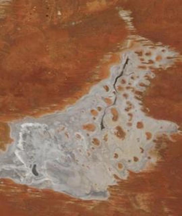
Image captured on 11 January 2021, by the MODIS instrument, aboard the Terra satellite.
Worldview Image of the Week
Jan. 19, 2021

The Global Navigation Satellite System (GNSS) enables the precise location of points on Earth’s surface. For geodesists like Dr. Herring, it also is a key geodetic technique for his studies of surface deformation processes.
Data User Story
Jan. 7, 2021

Aerosols have a huge impact on climate and human health. Dr. Steven Massie uses remotely-sensed data to better understand these impacts and improve how aerosols are detected by Earth observing satellites.
Data User Story
Jan. 7, 2021

Image captured on 28 December 2020, by the MODIS instrument, aboard the Terra satellite.
Worldview Image of the Week
Jan. 4, 2021


A new generation reconnects with greener pastures.
Feature Article
Dec. 28, 2020


Science and relief efforts come together in the aftermath of the 2005 Kashmir earthquake.
Feature Article
Dec. 28, 2020
SHOWING 8 OF 450
Frequently Asked Questions
Earthdata Forum
Our online forum provides a space for users to browse thousands of FAQs about research needs, data, and data applications. You can also submit new questions for our experts to answer.
Submit Questions to Earthdata Forumand View Expert Responses