We are in the process of migrating all NASA Earth science data sites into Earthdata from now until end of 2026. Not all NASA Earth science data and resources will appear here until then. Thank you for your patience as we make this transition.
Read about the Web Unification Project
Terra Resources
Terra Learning Resources

Explore how remote sensing is used to study landslide vegetation recovery in China, identify zero curtain effects for permafrost detection, and map geothermal minerals in East Africa.
Data in Action
April 28, 2020

This ARSET training addresses how to use remote sensing data for agriculture monitoring, specifically drought and crop monitoring.
Training
April 14 - May 5, 2020

In Spring 2019 DEVELOP researchers used VIIRS and other instrument data to create models that provide fine details on drought conditions in Iowa.
Data in Action
April 13, 2020

Evaluating the evolution of ocean response to the 2019 Atlantic tropical cyclones.
Data in Action
April 2, 2020

This ARSET training focuses on how to apply the UN Biodiversity Lab and NASA satellite data to conservation and SDG goals.
Training
March 24 - April 7, 2020
Cette formation ARSET est axée sur l'utilisation des données du Laboratoire de biodiversité des Nations Unies et des données satellitaires de la NASA.
Training
March 24 - April 7, 2020
Esta capacitación de ARSET se centra en cómo aplicar los datos del UN Biodiversity Lab y satélites de la NASA a las metas de los ODS.
Training
March 24 - April 7, 2020

See how a DEVELOP project team employed Earth observation data to examine and predict the location of bighorn sheep habitat in the Mojave Desert.
Data in Action
Feb. 24, 2020
SHOWING 8 OF 235
Terra News
View All News
Filters

Who Uses NASA Earth Science Data? Jun Wang, to study atmospheric composition and climate change; remote sensing of aerosols, clouds, and trace gases and the effects of these on global weather and climate.
Data User Story
April 22, 2021

Who uses NASA Earth science data? Dr. Charles Ichoku, to study the global and regional impacts of fires in Northern Sub-Saharan Africa.
Data User Story
April 22, 2021

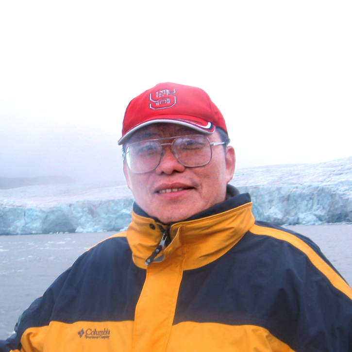
Dr. Bernard Hubbard uses NASA Earth science data to help locate mineral resources and assess natural hazards.
Data User Story
April 22, 2021

Who uses NASA Earth science data? Dr. John Fasullo, to track changes in Earth’s climate.
Data User Story
April 22, 2021
Who uses NASA Earth science data? Dr. Xiaofeng Li, to study atmospheric and oceanic processes.
Data User Story
April 22, 2021

Who uses NASA Earth science data? Dr. Nancy Glenn, to study dryland ecosystems.
Data User Story
April 22, 2021

Who uses NASA Earth science data? Mark Trice, to monitor the health of Chesapeake Bay.
Data User Story
April 22, 2021

Who uses NASA Earth science data? Dr. Karen Seto, to study the environmental effects of urbanization.
Data User Story
April 22, 2021
SHOWING 8 OF 450
Frequently Asked Questions
Earthdata Forum
Our online forum provides a space for users to browse thousands of FAQs about research needs, data, and data applications. You can also submit new questions for our experts to answer.
Submit Questions to Earthdata Forumand View Expert Responses