We are in the process of migrating all NASA Earth science data sites into Earthdata from now until end of 2026. Not all NASA Earth science data and resources will appear here until then. Thank you for your patience as we make this transition.
Read about the Web Unification Project
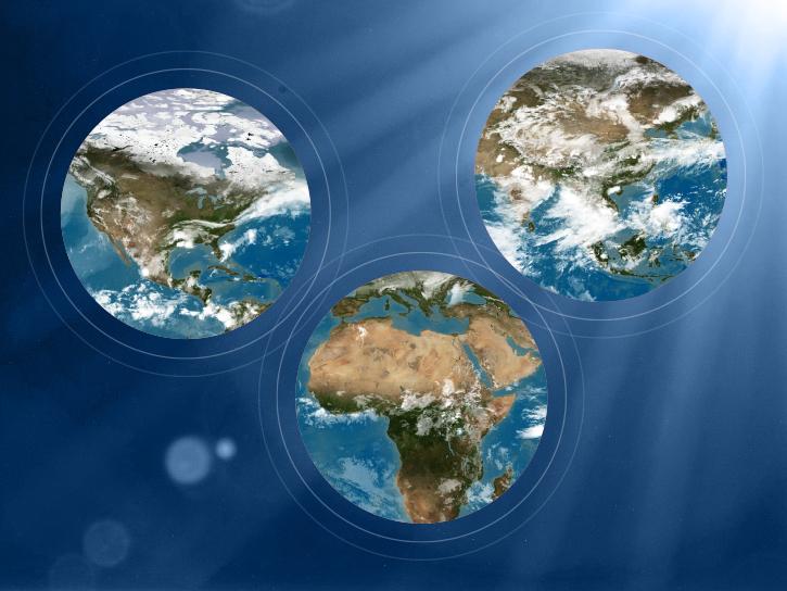
Terra Resources
Terra Learning Resources

View a demonstration of the Point Sampler using the Application for Extracting and Exploring Analysis Ready Samples (AppEEARS).
Tutorial
Dec. 21, 2018
Read stories from the 2017 issue of Sensing our Planet to learn about the many uses of MODIS data distributed by LP DAAC.
Data in Action
Dec. 19, 2018
Learn how scientists use remote sensing data to study sea ice patterns to see how changes can influence weather, climate, and animal populations in these regions.
Data in Action
Dec. 6, 2018

Read stories from the 2016 issue of Sensing our Planet to learn about the many uses of MODIS data distributed by LP DAAC.
Data in Action
Nov. 28, 2018

NASA scientists examined the sea surface temperature response associated with this 2018 hurricane.
Data in Action
Nov. 26, 2018

The Application for Extracting and Exploring Analysis Ready Samples (AppEEARS) tool simplifies data access, extraction, transformation, and visualization for defined areas.
Tutorial
Nov. 9, 2018

Learn how remote sensing is used to determine the unique spectral characteristics of plants.
Tutorial
Oct. 29, 2018

Learn how satellite data supported research on forest growing seasons in Thailand, land degradation risk in Cyprus, and agricultural yield forecasting in Eastern Europe.
Data in Action
Oct. 25, 2018
SHOWING 8 OF 235
Terra News
View All News
Filters

Talking about 20 years of NASA's Terra mission and its significance with Terra Project Scientist Dr. Kurt Thome.
Data User Story
May 12, 2021
A global team is using artificial intelligence and machine learning to enable users to search for specific features in satellite imagery available through NASA’s Global Imagery Browse Services (GIBS).
Feature Article
May 6, 2021

Image captured on 5 April 2021, by the MODIS instrument, aboard the Terra satellite.
Worldview Image of the Week
April 27, 2021

Who Uses NASA Earth Science Data? Rowena Lohman, to study earthquake physics, satellite remote sensing, finite element modeling, ground displacements from a variety of anthropogenic and natural causes.
Data User Story
April 22, 2021

Who uses NASA Earth science data? Adnan Al-Azri, to study why periodic harmful blooms of algae occur in the Sea of Oman and Arabian Sea.
Data User Story
April 22, 2021

Who uses NASA Earth science data? Dennis Ojima, to examine natural resource management response strategies to climate change in the North Central U.S.
Data User Story
April 22, 2021

Who uses NASA Earth Science Data? Fred Huemmrich, to study ecosystem functions and how ecosystems respond to environmental conditions.
Data User Story
April 22, 2021

Who Uses NASA Earth Science Data? Kelly Gleason, to study interactions of ecosystem disturbance and mountain hydroclimatology along with the associated implications for water resource availability in a changing climate.
Data User Story
April 22, 2021
SHOWING 8 OF 450
Frequently Asked Questions
Earthdata Forum
Our online forum provides a space for users to browse thousands of FAQs about research needs, data, and data applications. You can also submit new questions for our experts to answer.
Submit Questions to Earthdata Forumand View Expert Responses