We are in the process of migrating all NASA Earth science data sites into Earthdata from now until end of 2026. Not all NASA Earth science data and resources will appear here until then. Thank you for your patience as we make this transition.
Read about the Web Unification Project
Terra Resources
Terra Learning Resources

Read how researchers from NASA's DEVELOP team analyzed temperature trends in the Northeast to create maps for the agricultural and energy industries.
Data in Action
April 13, 2018

Learn how a NASA DEVELOP project used MODIS and ASTER data to create a model of social vulnerability to fire hazards in the Appalachian forests.
Data in Action
March 7, 2018

See ASTER instrument images revealing the transformation of South Korea's Mount Gariwang for the 2018 Winter Olympics.
Data in Action
Feb. 21, 2018

This ARSET training introduces the Variable Infiltration Capacity Model, sources of satellite-derived input data, and implementation of the model.
Training
Feb. 15 - March 1, 2018

The ability to understand where fish are likely to be and when they are likely to be there is critical for the sustainable management of fisheries.
Data in Action
Feb. 1, 2018

This ARSET training teaches how to use Python scripts to map and analyze air quality data through hands-on exercises.
Training
Jan. 17-22, 2018

In Spring 2017, DEVELOP researchers in Phoenix used NASA data to determine how hot area bus stops are in summer to determine which ones need shelters.
Data in Action
Dec. 27, 2017

Learn how surface reflectance and albedo as measured by satellite data help scientists understand the topography and vegetation cover of Earth surfaces.
Data in Action
Nov. 30, 2017
SHOWING 8 OF 235
Terra News
View All News
Filters

Characterizing MODIS performance involves an innovative and international collaboration of scientists.
Feature Article
July 28, 2020
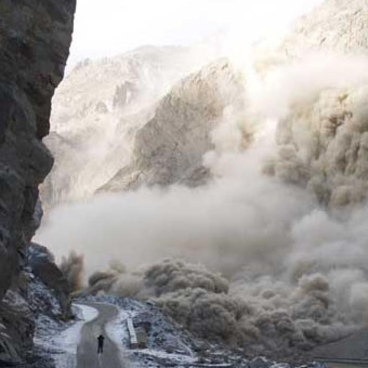
Scientists and satellites hold vigil on a newborn lake in Pakistan.
Feature Article
July 28, 2020
For years, experts have used cloud observations to predict the weather.
Feature Article
July 28, 2020

After conducting an extensive study of available formats, EOSDIS planners selected the Hierarchical Data Format (HDF) as the standard for Earth science data generated by EOS instruments.
Feature Article
July 28, 2020

According to a recent report in Science, the Amazon rain forest has lost nearly two million acres to logging each year since 1996.
Feature Article
July 28, 2020


Phytoplankton blooms occur in all the Earth’s oceans when nutrient and sunlight conditions are right.
Feature Article
July 28, 2020

A new long-term archive of satellite data will help hydrologists monitor floods, allow aid agencies to pinpoint flood-prone regions, and provide information for modeling Earth's complex hydrologic cycles.
Feature Article
July 28, 2020
SHOWING 8 OF 450
Frequently Asked Questions
Earthdata Forum
Our online forum provides a space for users to browse thousands of FAQs about research needs, data, and data applications. You can also submit new questions for our experts to answer.
Submit Questions to Earthdata Forumand View Expert Responses