We are in the process of migrating all NASA Earth science data sites into Earthdata from now until end of 2026. Not all NASA Earth science data and resources will appear here until then. Thank you for your patience as we make this transition.
Read about the Web Unification Project
Terra Resources
Terra Learning Resources

The West Africa Atlas uses ASTER data, aerial imagery, and ground images to illustrate changes and responses to environmental challenges in 17 countries.
Data in Action
March 1, 2017

Satellite data from NASA's MODIS instrument illustrates the relationship between snow cover and temperature and the viability of skiing conditions over time.
Data in Action
Feb. 2, 2017

Learn about Moderate Resolution Imaging Spectroradiometer (MODIS) Version 6 Surface Reflectance data, including band combinations and data values.
Tutorial
Jan. 23, 2017

Learn to interpret Moderate Resolution Imaging Spectroradiometer (MODIS) Surface Reflectance data quality via Quality Assurance bits, tools, and resources.
Tutorial
Jan. 23, 2017

Learn how to interpret Moderate Resolution Imaging Spectroradiometer (MODIS) Land Surface Temperature data quality information, including decoding binary quality layers and utilizing tools for data analysis.
Tutorial
Jan. 23, 2017

Learn how to access Moderate Resolution Imaging Spectroradiometer (MODIS) Surface Reflectance data through Earthdata Search.
Tutorial
Jan. 23, 2017

The Global Land Ice Measurements from Space (GLIMS) initiative uses satellite data to track glacier changes, providing vital data for climate and hazard studies.
Data in Action
Dec. 14, 2016

Discover how a NASA DEVELOP team developed a tool to understand drought impact and avoid long-term effects.
Data in Action
Nov. 30, 2016
SHOWING 8 OF 235
Terra News
View All News
Filters

The new Sea Level Change Data Pathfinder highlights the different datasets used to piece together the status and drivers of sea level rise.
Feature Article
Feb. 18, 2022

Image captured on Jan 11, 2022 by the MODIS instrument aboard the Terra satellite.
Worldview Image of the Week
Feb. 1, 2022

Data from NASA’s ORNL DAAC helps scientists like Dr. Kevin Schaefer detect climate-induced thawing of permafrost throughout the Arctic.
Data User Story
Jan. 31, 2022
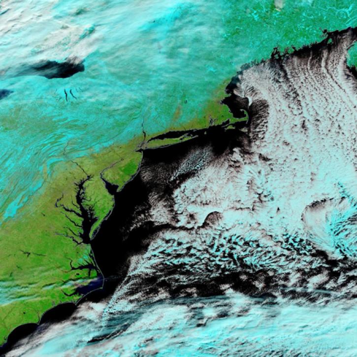
Image captured Jan 30, 2022, by the MODIS instrument aboard the Terra satellite.
Worldview Image of the Week
Jan. 31, 2022

Image captured on Dec. 11, 2021, by the MODIS instrument aboard the Terra satellite.
Worldview Image of the Week
Jan. 29, 2022
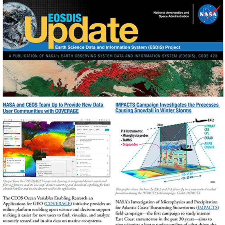
Read about the latest EOSDIS work in the Fall 2021 EOSDIS Update newsletter.
News
Jan. 26, 2022

GeoColor imagery’s quality, frequency, and interpretability will boost the amount of near real-time imagery available in Worldview, making it even more valuable to users.
Feature Article
Jan. 25, 2022

Worldview now has temperature conversion and new tour stories, and GIBS is moving to the cloud!
Blog
Jan. 19, 2022
SHOWING 8 OF 450
Frequently Asked Questions
Earthdata Forum
Our online forum provides a space for users to browse thousands of FAQs about research needs, data, and data applications. You can also submit new questions for our experts to answer.
Submit Questions to Earthdata Forumand View Expert Responses