We are in the process of migrating all NASA Earth science data sites into Earthdata from now until end of 2026. Not all NASA Earth science data and resources will appear here until then. Thank you for your patience as we make this transition.
Read about the Web Unification Project
Terra Resources
Terra Learning Resources

Learn how to access and use Moderate Resolution Imaging Spectroradiometer (MODIS) Version 6 land data.
Webinar
Nov. 22, 2016

This visualization shows 34 years of Earth's seasonal vegetation changes, driven by its orbit and tilt, using NASA's MEaSUREs Vegetation Index and Phenology (VIP) Version 4 collection.
Tutorial
Nov. 22, 2016

Explore the stunning autumn foliage in Eastern Asia from space with NASA remote sensing data.
Data in Action
Nov. 9, 2016

Learn how satellite data supported landslide detection in the French Alps, flowering pattern analysis for beekeepers, and mangrove ecosystem monitoring in Bangladesh and India.
Data in Action
Oct. 29, 2016

View LP DAAC's presentation at the Black Hills Digital Mapping Association's 2016 annual conference.
Webinar
Oct. 4, 2016

Researchers used ASTER data to generate a map identifying exposed minerals on the Conterminous United States.
Data in Action
Sept. 20, 2016

This ARSET training covers NASA soil moisture and evapotranspiration products and how to access and apply them for water resource management.
Training
Sept. 1-29, 2016

Join us on at 2pm ET to learn about Arctic Boreal Vulnerability Experiment (ABoVE) Data Management Best Practices.
Webinar
Aug. 31, 2016
SHOWING 8 OF 235
Terra News
View All News
Filters
Researchers explore the links between atmospheric aerosols, climate change, and ultraviolet rays.
Feature Article
Dec. 27, 2020

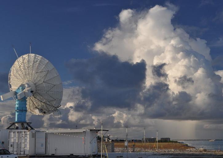
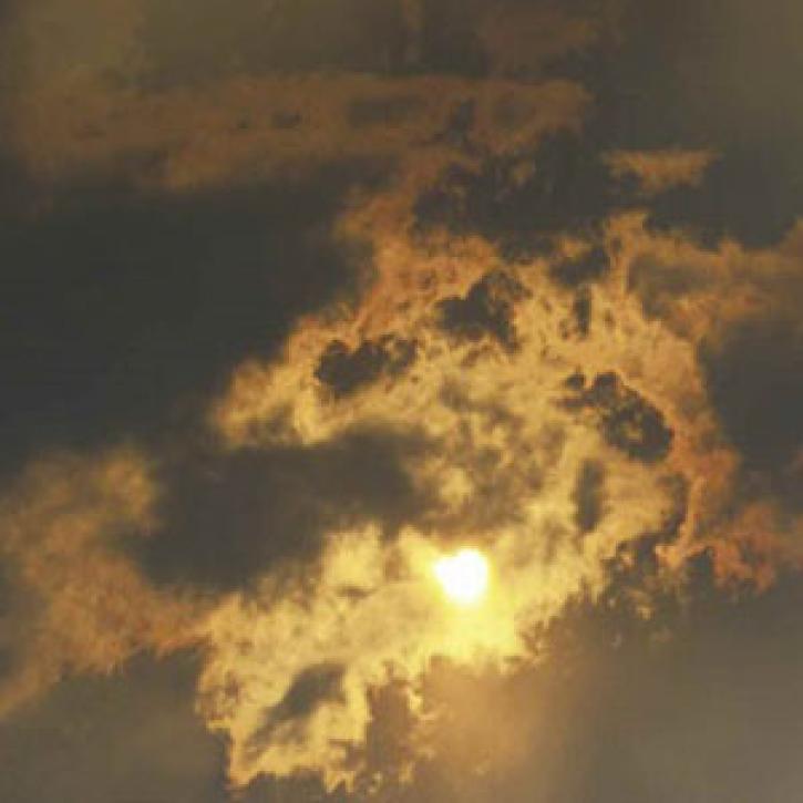
Convection meets the Indian Ocean for supersize weather.
Feature Article
Dec. 27, 2020

Who Uses NASA Earth Science Data? Lars Bromley, to study the integration of satellite imagery and geospatial data in supporting global UN operations and activities in the areas of disaster response, humanitarian support, human security, and human rights.
Data User Story
Dec. 22, 2020

Who Uses NASA Earth Science Data? Kevin Gallo, to improve radar and satellite estimations of hail size and damage.
Data User Story
Dec. 22, 2020

Who Uses NASA Earth Science Data? John Lehrter, to study the water quality of estuarine and coastal environments
Data User Story
Dec. 22, 2020

Who uses NASA Earth science data? Dr. Santiago Gassó, to study the concentration and global movement of dust.
Data User Story
Dec. 22, 2020

Who uses NASA Earth science data? Dr. Róisín Commane, to study the effects of terrestrial pollution on the atmosphere’s chemical composition.
Data User Story
Dec. 22, 2020
SHOWING 8 OF 450
Frequently Asked Questions
Earthdata Forum
Our online forum provides a space for users to browse thousands of FAQs about research needs, data, and data applications. You can also submit new questions for our experts to answer.
Submit Questions to Earthdata Forumand View Expert Responses