We are in the process of migrating all NASA Earth science data sites into Earthdata from now until end of 2026. Not all NASA Earth science data and resources will appear here until then. Thank you for your patience as we make this transition.
Read about the Web Unification Project
Terra Resources
Terra Learning Resources

Learn how remote sensing helps classify minerals and identify faults, the effectiveness of an afforestation program, and assessing forests and grasslands disturbance.
Data in Action
May 20, 2016

Learn about ASTER products, how they can be applied to variety of studies, and how to access the data.
Webinar
May 6, 2016

Learn how NASA's ASTER data helps monitor and understand lahars, offering essential data for hazard assessment and mitigation efforts.
Data in Action
April 26, 2016

This ARSET training provides demonstrations and hands-on experience in using NASA remote sensing observations and flood mapping tools.
Training
March 16 - April 6, 2016

Explore how satellite data helped assess rice crop recovery after the 2011 Japan tsunami, analyze sand dune structures in Namibia, and link groundwater levels to vegetation in China’s arid regions.
Data in Action
Feb. 10, 2016

See how MODIS Leaf Area Index data are used to complement in situ data to evaluate seasonal changes in the relationship between canopy cover and photosynthesis.
Data in Action
Jan. 27, 2016

Waves and Satellites: Effect of El Niño on Big Wave Surfing
Data in Action
Jan. 25, 2016

Emergency teams use MODIS data to monitor the locations and sizes of wildfires, observe fire patterns and durations, and track burn scars to help prevent, manage, and predict fires.
Data in Action
Nov. 25, 2015
SHOWING 8 OF 235
Terra News
View All News
Filters
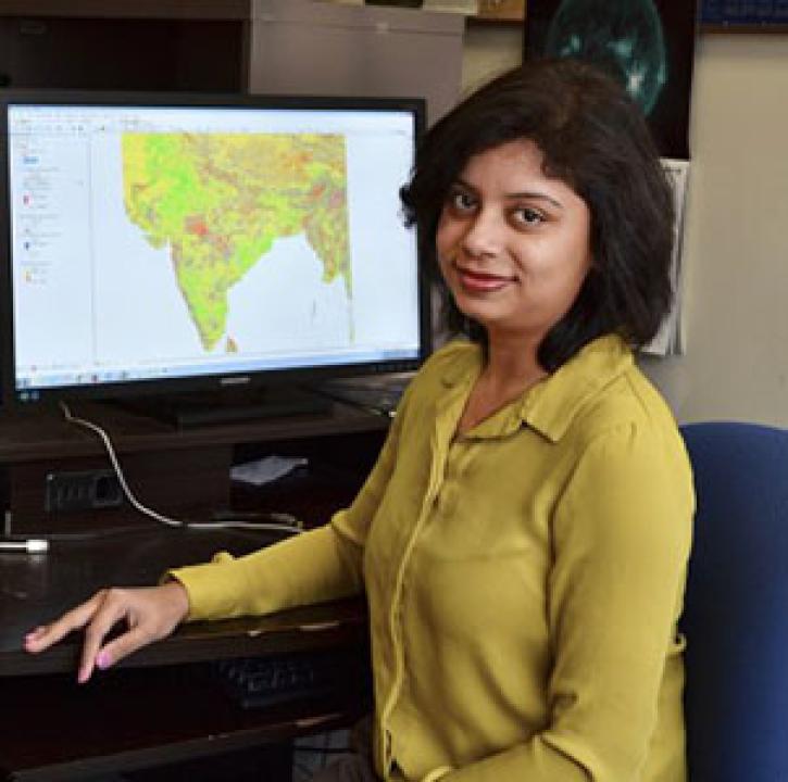
Who uses NASA Earth science data? Dr. Pinki Mondal, to study the effects of climate change on agricultural systems and communities.
Data User Story
Dec. 22, 2020

Who uses NASA Earth science data? Dr. Paul Stackhouse, for developing new products for analyzing the global energy cycle and interfaces for using these data.
Data User Story
Dec. 22, 2020

Who uses NASA Earth science data? Dr. Nancy French, to study the effects of wildfires on forest ecosystems.
Data User Story
Dec. 22, 2020

Knowing where species live in a particular region is only one piece of an ecological puzzle. You also need to know why they live where they do. Dr. Monica Papeş uses NASA Earth science data to find out.
Data User Story
Dec. 22, 2020

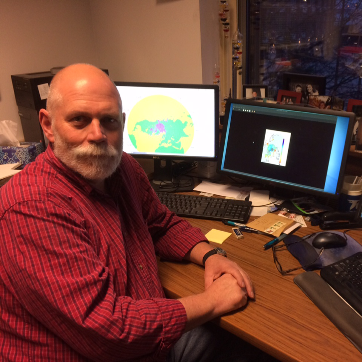
Who uses NASA Earth science data? Dr. Mike Ramsey, for developing new ways to study active volcanoes and to provide data to support emergency response.
Data User Story
Dec. 22, 2020

Who uses NASA Earth science data? Dr. Michael Dietze, to improve ecological models through the integration of remotely-sensed data.
Data User Story
Dec. 22, 2020
Who Uses NASA Earth Science Data? Dr. Mark Anderson, to better understand how frozen surfaces react to changing atmospheric conditions
Data User Story
Dec. 22, 2020

Who uses NASA Earth science data? Dr. Joan Ramage, to study glaciers and snowmelt.
Data User Story
Dec. 22, 2020
SHOWING 8 OF 450
Frequently Asked Questions
Earthdata Forum
Our online forum provides a space for users to browse thousands of FAQs about research needs, data, and data applications. You can also submit new questions for our experts to answer.
Submit Questions to Earthdata Forumand View Expert Responses