We are in the process of migrating all NASA Earth science data sites into Earthdata from now until end of 2026. Not all NASA Earth science data and resources will appear here until then. Thank you for your patience as we make this transition.
Read about the Web Unification Project
Terra Resources
Terra Learning Resources

Learn how remote sensing helps classify minerals and identify faults, the effectiveness of an afforestation program, and assessing forests and grasslands disturbance.
Data in Action
May 20, 2016

Learn about ASTER products, how they can be applied to variety of studies, and how to access the data.
Webinar
May 6, 2016

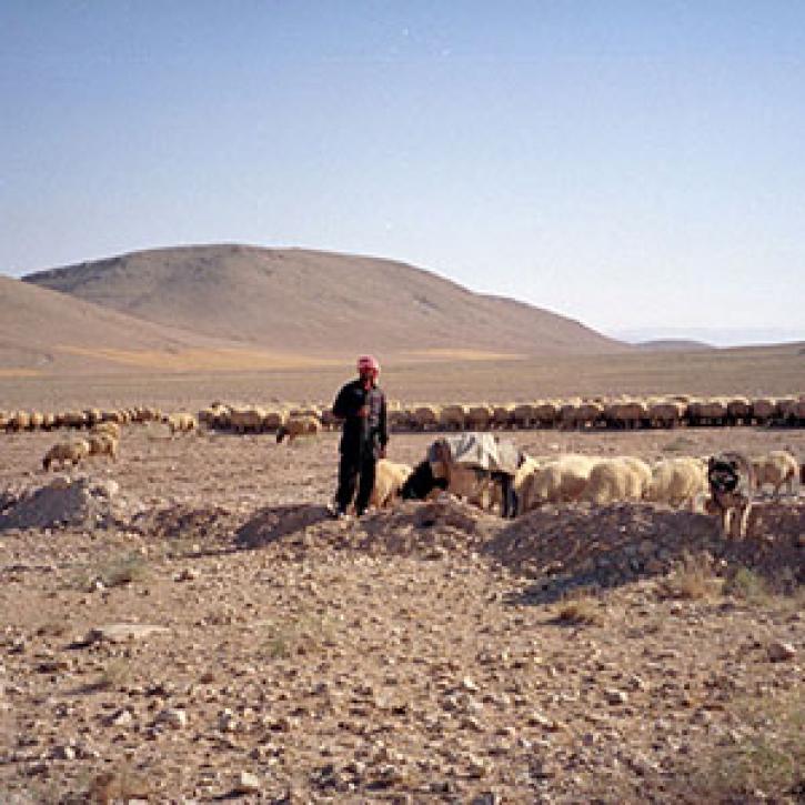
Learn how NASA's ASTER data helps monitor and understand lahars, offering essential data for hazard assessment and mitigation efforts.
Data in Action
April 26, 2016

This ARSET training provides demonstrations and hands-on experience in using NASA remote sensing observations and flood mapping tools.
Training
March 16 - April 6, 2016

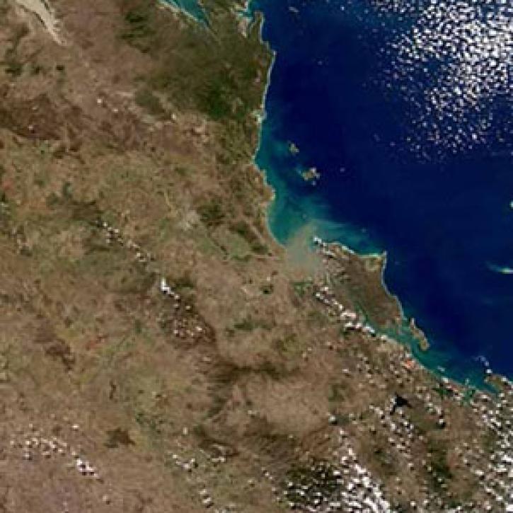
Explore how satellite data helped assess rice crop recovery after the 2011 Japan tsunami, analyze sand dune structures in Namibia, and link groundwater levels to vegetation in China’s arid regions.
Data in Action
Feb. 10, 2016

See how MODIS Leaf Area Index data are used to complement in situ data to evaluate seasonal changes in the relationship between canopy cover and photosynthesis.
Data in Action
Jan. 27, 2016

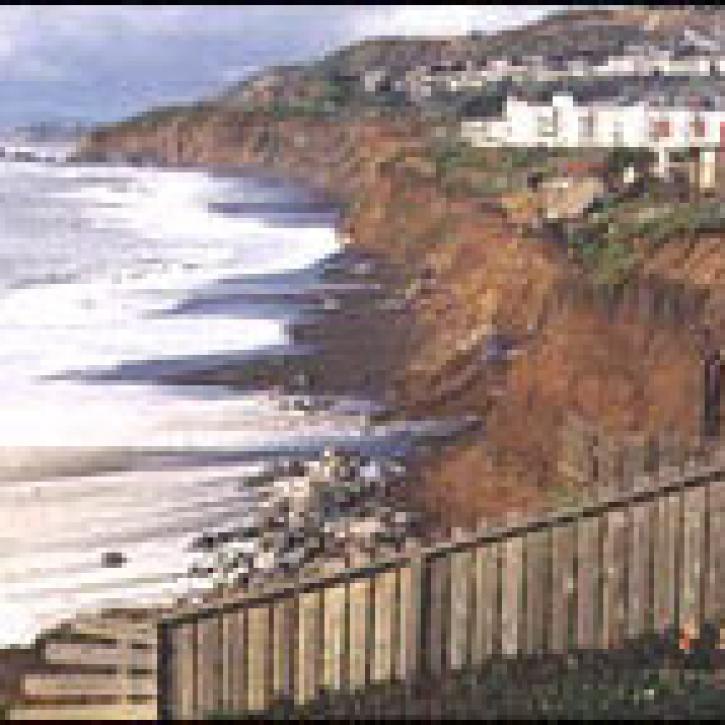
Waves and Satellites: Effect of El Niño on Big Wave Surfing
Data in Action
Jan. 25, 2016

Emergency teams use MODIS data to monitor the locations and sizes of wildfires, observe fire patterns and durations, and track burn scars to help prevent, manage, and predict fires.
Data in Action
Nov. 25, 2015
SHOWING 8 OF 235
Terra News
View All News
Filters

Scientists study Mount Unzen in Japan to explore the use of satellite data to monitor volcanic domes.
Feature Article
July 21, 2020
Remote estimates of crop yields help international aid agencies decide how to act.
Feature Article
July 21, 2020

Understanding river runoff will help solidify the link between land use and coral health.
Feature Article
July 21, 2020

Ocean color data from the SeaWiFS and MODIS sensors enable researchers to examine the link between phytoplankton blooms and fish and bird health.
Feature Article
July 21, 2020

By analyzing data from the MISR instrument, scientists discover that a unique type of cloud formation is much more prevalent than was previously believed.
Feature Article
July 21, 2020
The strongest El Niño event on record triggered a radical change in cloud structure.
Feature Article
July 21, 2020
Anthropologists and archaeologists explore how people and the environment interact over thousands of years.
Feature Article
July 21, 2020
SHOWING 8 OF 450
Frequently Asked Questions
Earthdata Forum
Our online forum provides a space for users to browse thousands of FAQs about research needs, data, and data applications. You can also submit new questions for our experts to answer.
Submit Questions to Earthdata Forumand View Expert Responses