We are in the process of migrating all NASA Earth science data sites into Earthdata from now until end of 2026. Not all NASA Earth science data and resources will appear here until then. Thank you for your patience as we make this transition.
Read about the Web Unification Project
Terra Resources
Terra Learning Resources

NASA DEVELOP teams used MODIS and ASTER data to address wildfire impacts, flooding risks, and wildlife conservation through remote sensing.
Data in Action
Nov. 18, 2015

Discover how NASA data support amphibian habitat mapping, classification of Amazonian wetland vegetation, and flood regime monitoring in Botswana’s Okavango Delta.
Data in Action
Oct. 28, 2015

Learn how MODIS data were used to update the 1992 Montana Climate Atlas to better understand the state's climate and how it relates to resources and industries.
Data in Action
Oct. 21, 2015

Discover how MODIS data help track changes in snow water equivalents in the Sierra Nevada Mountains to help forecast drought in California.
Data in Action
Sept. 30, 2015

Examining changes and recovery of the Chandeleur Barrier Islands post-Hurricane Katrina using remote sensing data.
Data in Action
Aug. 26, 2015

See how a NASA DEVELOP team used MODIS data to create a drought-monitoring tool to benefit the agriculture and energy sectors.
Data in Action
July 1, 2015

See how MODIS data are used to determine areas susceptible to water-stress to show the relative health of the vegetation compared to the same area with healthy vegetation.
Data in Action
June 25, 2015

Discover how researchers used NASA remote sensing data to analyze the eruption of Calbuco Volcano and its impact on the surrounding environment.
Data in Action
May 29, 2015
SHOWING 8 OF 235
Terra News
View All News
Filters

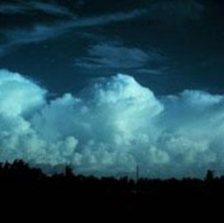
Who uses NASA Earth science data? Dr. Emily Berndt, to improve short-term forecasts of high-impact weather.
Data User Story
April 22, 2021
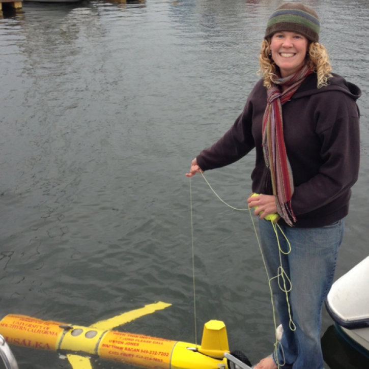
Who uses NASA Earth science data? Dr. Bridget Seegers, for developing new ways to study water quality and track harmful algal blooms.
Data User Story
April 22, 2021
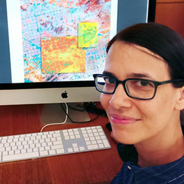
Who uses NASA Earth science data? Lela Prashad, for exploring how people live in and experience urban environments.
Data User Story
April 22, 2021

For the people of Asia and Southeast Asia, water is integral to their livelihood. Dr. Hossain uses NASA Earth observing data to improve water management and accelerate economic development in these regions.
Data User Story
April 22, 2021

Who uses NASA Earth science data? Dr. Rachel Albrecht, to pinpoint global lightning hotspots.
Data User Story
April 20, 2021

Image captured on 29 November 2020, by the MODIS instrument, aboard the Terra satellite.
Worldview Image of the Week
April 19, 2021

Who Uses NASA Earth Science Data? Dr. Greg Jenkins, to study weather, climate, atmospheric chemistry, and air quality of West Africa.
Data User Story
April 19, 2021
Weather forecasters improve short-term predictions using data from NASA's Earth Observing System satellites.
Feature Article
April 19, 2021
SHOWING 8 OF 450
Frequently Asked Questions
Earthdata Forum
Our online forum provides a space for users to browse thousands of FAQs about research needs, data, and data applications. You can also submit new questions for our experts to answer.
Submit Questions to Earthdata Forumand View Expert Responses