We are in the process of migrating all NASA Earth science data sites into Earthdata from now until end of 2026. Not all NASA Earth science data and resources will appear here until then. Thank you for your patience as we make this transition.
Read about the Web Unification Project
Terra Resources
Terra Learning Resources

NASA DEVELOP teams used MODIS and ASTER data to address wildfire impacts, flooding risks, and wildlife conservation through remote sensing.
Data in Action
Nov. 18, 2015

Discover how NASA data support amphibian habitat mapping, classification of Amazonian wetland vegetation, and flood regime monitoring in Botswana’s Okavango Delta.
Data in Action
Oct. 28, 2015

Learn how MODIS data were used to update the 1992 Montana Climate Atlas to better understand the state's climate and how it relates to resources and industries.
Data in Action
Oct. 21, 2015

Discover how MODIS data help track changes in snow water equivalents in the Sierra Nevada Mountains to help forecast drought in California.
Data in Action
Sept. 30, 2015

Examining changes and recovery of the Chandeleur Barrier Islands post-Hurricane Katrina using remote sensing data.
Data in Action
Aug. 26, 2015

See how a NASA DEVELOP team used MODIS data to create a drought-monitoring tool to benefit the agriculture and energy sectors.
Data in Action
July 1, 2015

See how MODIS data are used to determine areas susceptible to water-stress to show the relative health of the vegetation compared to the same area with healthy vegetation.
Data in Action
June 25, 2015

Discover how researchers used NASA remote sensing data to analyze the eruption of Calbuco Volcano and its impact on the surrounding environment.
Data in Action
May 29, 2015
SHOWING 8 OF 235
Terra News
View All News
Filters

Characterizing MODIS performance involves an innovative and international collaboration of scientists.
Feature Article
July 28, 2020
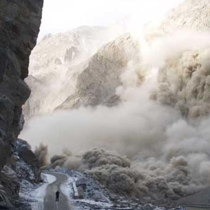
Scientists and satellites hold vigil on a newborn lake in Pakistan.
Feature Article
July 28, 2020
For years, experts have used cloud observations to predict the weather.
Feature Article
July 28, 2020

After conducting an extensive study of available formats, EOSDIS planners selected the Hierarchical Data Format (HDF) as the standard for Earth science data generated by EOS instruments.
Feature Article
July 28, 2020

According to a recent report in Science, the Amazon rain forest has lost nearly two million acres to logging each year since 1996.
Feature Article
July 28, 2020


Phytoplankton blooms occur in all the Earth’s oceans when nutrient and sunlight conditions are right.
Feature Article
July 28, 2020

A new long-term archive of satellite data will help hydrologists monitor floods, allow aid agencies to pinpoint flood-prone regions, and provide information for modeling Earth's complex hydrologic cycles.
Feature Article
July 28, 2020
SHOWING 8 OF 450
Frequently Asked Questions
Earthdata Forum
Our online forum provides a space for users to browse thousands of FAQs about research needs, data, and data applications. You can also submit new questions for our experts to answer.
Submit Questions to Earthdata Forumand View Expert Responses