We are in the process of migrating all NASA Earth science data sites into Earthdata from now until end of 2026. Not all NASA Earth science data and resources will appear here until then. Thank you for your patience as we make this transition.
Read about the Web Unification Project
Terra Resources
Terra Learning Resources

This ARSET training focuses on regional and global observation resources for conservation management.
Training
May 5 - June 2, 2015

Learn how NASA data can inform crop decisions in desert areas, help farmers predict frost events, and understand why land change trends occur.
Data in Action
April 29, 2015

Researchers used MODIS and ASTER data to analyze how the Three Gorges Dam's construction altered vegetation along the Yangtze River's riparian zones.
Data in Action
April 29, 2015

See how scientists used ASTER thermal infrared imagery to study Ethiopia's volcanically active Afar Triangle.
Data in Action
March 25, 2015

Read stories from the 2014 issue of Sensing our Planet to learn about the many uses of MODIS data distributed by LP DAAC.
Data in Action
March 18, 2015

Learn how MODIS vegetation indices can be used to monitor variations in global vegetation conditions, such as seasonal leaf changes.
Data in Action
Dec. 23, 2014

Explore how LP DAAC data was used to forecast spring wheat yields in Canada, track elevation change at a U.S. coal mine, and examine land cover impacts on urban heat in Phoenix, Arizona.
Data in Action
Nov. 25, 2014

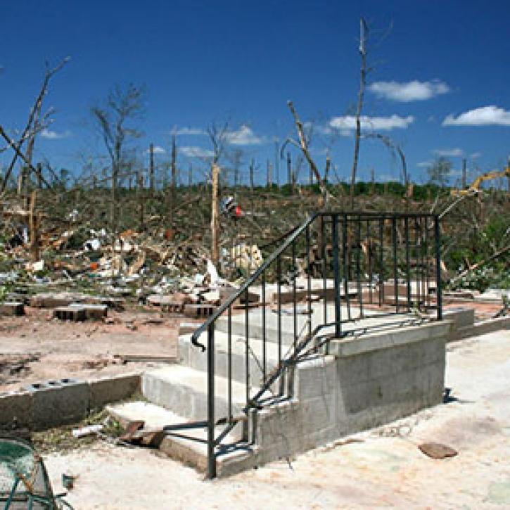
Learn how remote sensing data from space was used to detect and monitor the King Fire in California, showcasing the importance of satellite imagery in wildfire management.
Data in Action
Nov. 7, 2014
SHOWING 8 OF 235
Terra News
View All News
Filters
Forests fill the air with more than just a fresh scent.
Feature Article
Dec. 28, 2020

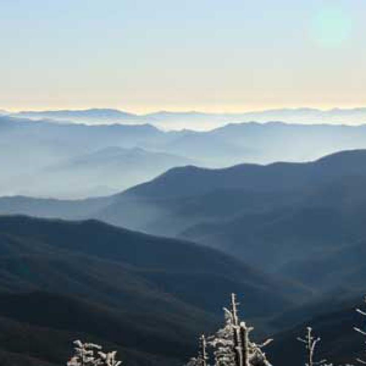
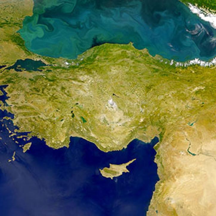
Slow-moving landforms in Alaska decipher the frigid surface of Mars.
Feature Article
Dec. 28, 2020
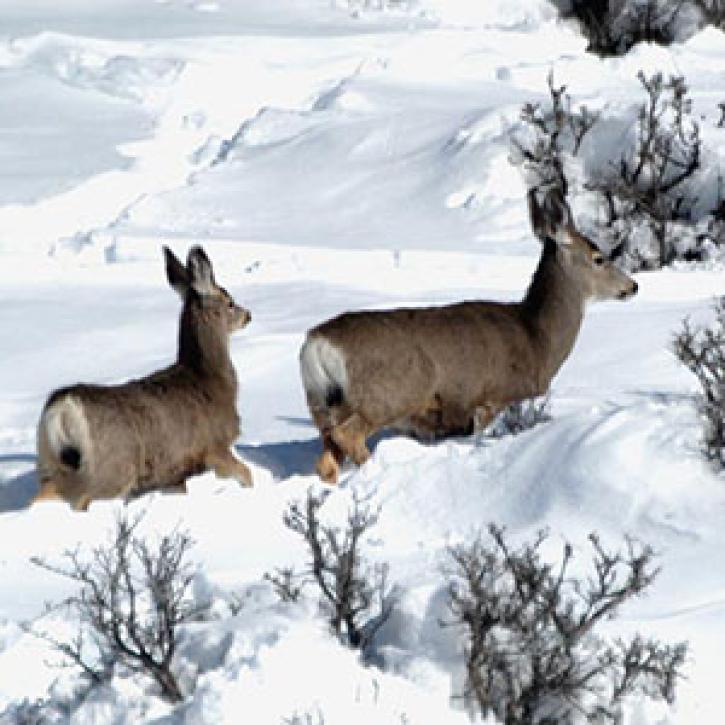
Satellite sensing of summer plants and winter snow helps biologists predict mule deer populations.
Feature Article
Dec. 28, 2020

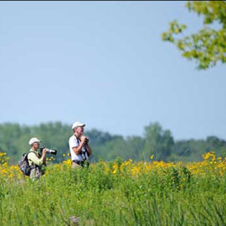
By sharing their observations, birdwatchers can help scientists understand where the various species of birds are throughout the year.
Feature Article
Dec. 28, 2020
SHOWING 8 OF 450
Frequently Asked Questions
Earthdata Forum
Our online forum provides a space for users to browse thousands of FAQs about research needs, data, and data applications. You can also submit new questions for our experts to answer.
Submit Questions to Earthdata Forumand View Expert Responses