We are in the process of migrating all NASA Earth science data sites into Earthdata from now until end of 2026. Not all NASA Earth science data and resources will appear here until then. Thank you for your patience as we make this transition.
Read about the Web Unification Project
Terra Resources
Terra Learning Resources

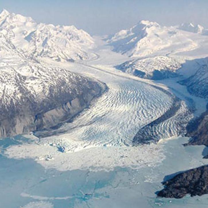
Explore how MODIS data supports research on tick-borne disease spread in Kansas, water stress in African rangelands, and long-term greenness trends in Alaska’s boreal ecosystems.
Data in Action
Oct. 28, 2014

Read highlights from the Spring/Summer 20214 term of NASA's DEVELOP program.
Data in Action
Oct. 21, 2014

ASTER data are used to evaluate the affects of Hurricane Ivan, a unique and destructive storm, after making two U.S. landfalls.
Data in Action
Sept. 30, 2014

Learn about intensified coastal warming along central-to-southern California in 2014 using satellite sea surface temperature imagery.
Data in Action
Sept. 4, 2014

See how digital elevation models are used to create three-dimensional data visualizations, which provide an insightful perspective on landscapes.
Data in Action
Aug. 18, 2014

Satellite data derived from ASTER imagery help tea growers in India assess crop health.
Data in Action
Aug. 14, 2014

See how NASA's remote sensing data was used to assess the destruction of the city after Typhoon Haiyan.
Data in Action
May 29, 2014

Discover how MODIS data were used to depict cloud-free, global variations in vegetation cover.
Data in Action
April 11, 2014
SHOWING 8 OF 235
Terra News
View All News
Filters

Open sharing of pollution data helps Chinese netizens brave the politics of murky air.
Feature Article
Dec. 27, 2020

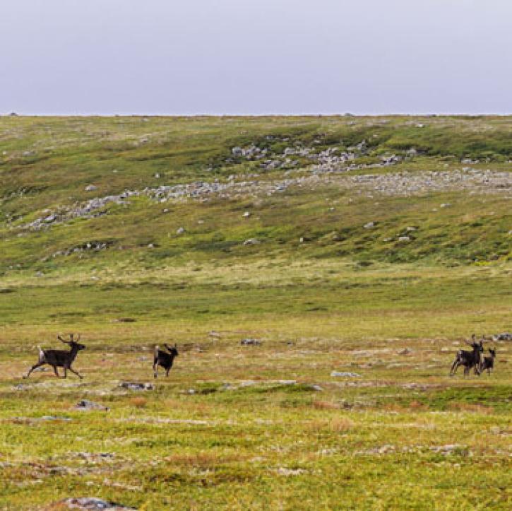
Honeybees signal a worrisome trend in plant-pollinator relationships.
Feature Article
Dec. 27, 2020
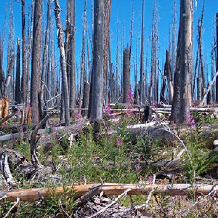
Decades after a fire, high-elevation forests still shape a climate.
Feature Article
Dec. 27, 2020
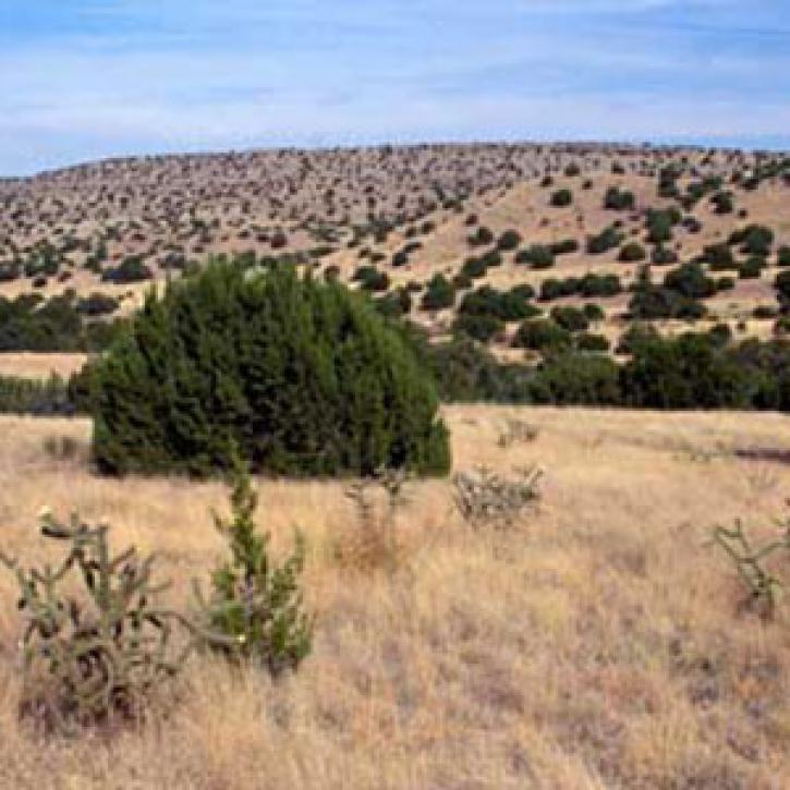
People and heat spread north into Arctic permafrost.
Feature Article
Dec. 27, 2020
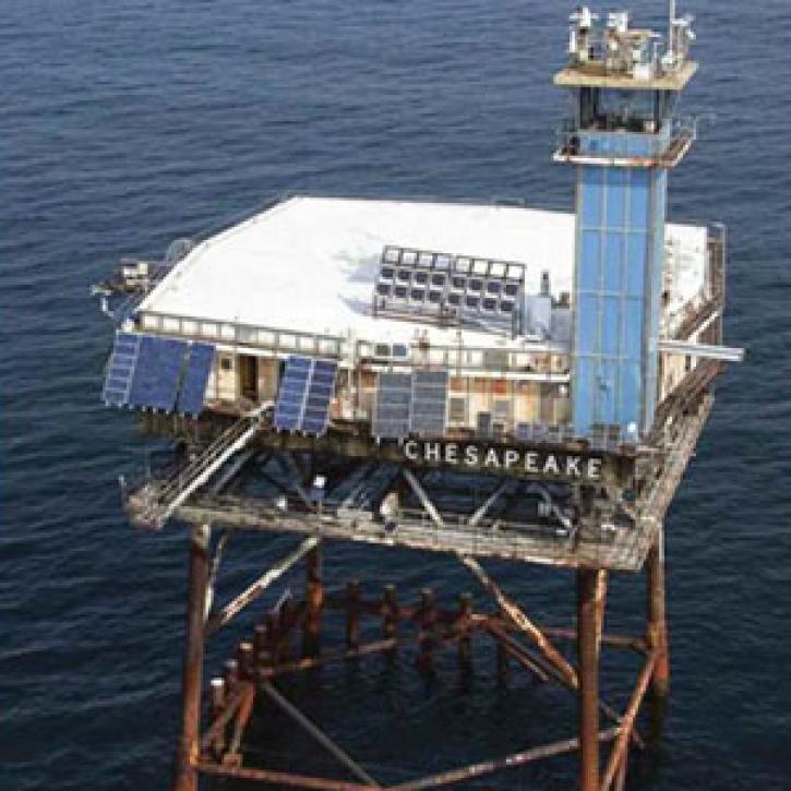
A lonely platform at sea helps balance Earth's energy budget.
Feature Article
Dec. 27, 2020
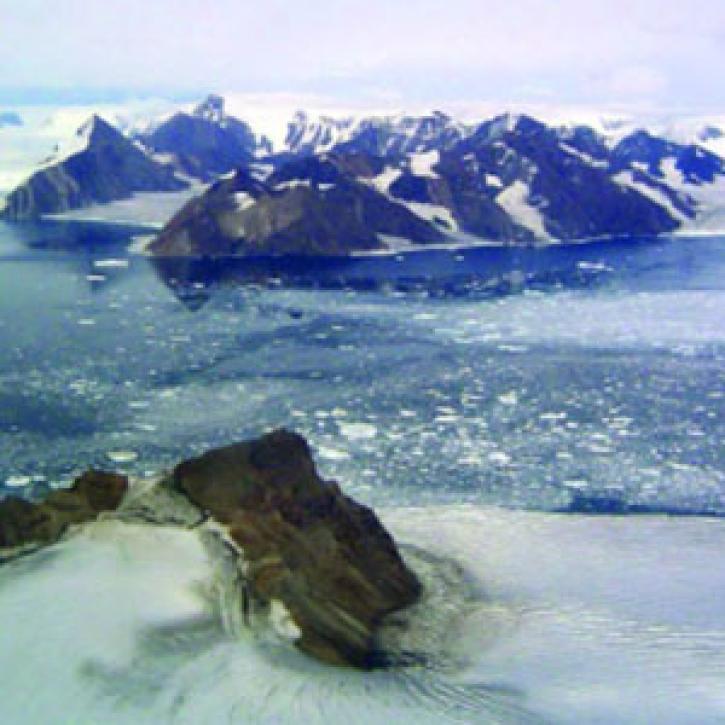
Researchers study the aftermath of the collapse of an Antarctic ice shelf to find out what might happen next.
Feature Article
Dec. 27, 2020
SHOWING 8 OF 450
Frequently Asked Questions
Earthdata Forum
Our online forum provides a space for users to browse thousands of FAQs about research needs, data, and data applications. You can also submit new questions for our experts to answer.
Submit Questions to Earthdata Forumand View Expert Responses