We are in the process of migrating all NASA Earth science data sites into Earthdata from now until end of 2026. Not all NASA Earth science data and resources will appear here until then. Thank you for your patience as we make this transition.
Read about the Web Unification Project
Terra Resources
Terra Learning Resources

Read highlights of three publications that detail how NASA Earth observation data are used to map wildfire fuel loads, analyze volcanic ash composition, and improve soil respiration models in agricultural systems.
Data in Action
March 15, 2022

Satellite observations complement other sensors to gauge Earth’s energy imbalance (EEI) more accurately.
Data in Action
Feb. 18, 2022

Learn how researchers used NASA data to map Amazon carbon flux, mosquito disease transmission zones, and volcanic activity patterns for environmental monitoring and risk assessment.
Data in Action
Feb. 3, 2022

NASA Models Reveal Climate-Induced and Management Impacts on the Mississippi River Delta
StoryMap
Feb. 1, 2022

NASA Models and Datasets Capture Irrigation and Groundwater Depletion Impacts
StoryMap
Feb. 1, 2022

Esta capacitación de ARSET cubre el Kit de herramientas de observación de la Tierra para ciudades y asentamientos humanos sostenibles.
Training
Jan. 27 - Feb. 10, 2022
This ARSET training provides an overview of the Earth Observations Toolkit for Sustainable Cities and Human Settlements.
Training
Jan. 27 - Feb. 10, 2022

This ARSET training reviews pre-fire risk assessment and post-fire mapping using open-source tools like Google Earth Engine.
Training
Jan. 18-20, 2022
SHOWING 8 OF 235
Terra News
View All News
Filters
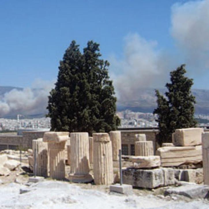
The effects of forest fires show up in a multi-satellite view of pollution.
Feature Article
Dec. 28, 2020


Logbooks, satellites, and game theory help steward tuna in the Pacific.
Feature Article
Dec. 28, 2020
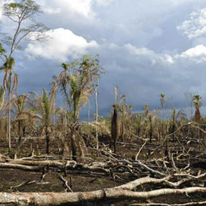
Researchers peer deep into tropical forests, weighing their status as climate balancers.
Feature Article
Dec. 28, 2020
Ground observers and satellites monitor plant life cycles and the timing of seasons.
Feature Article
Dec. 28, 2020

Polar water fuels off-kilter rainfall in the tropics.
Feature Article
Dec. 28, 2020

Vegetation data helps researchers and resource managers develop a new approach to stopping species invasions.
Feature Article
Dec. 28, 2020

Image captured on 20 December 2020, by the MODIS instrument, aboard the Terra satellite.
Worldview Image of the Week
Dec. 28, 2020
SHOWING 8 OF 450
Frequently Asked Questions
Earthdata Forum
Our online forum provides a space for users to browse thousands of FAQs about research needs, data, and data applications. You can also submit new questions for our experts to answer.
Submit Questions to Earthdata Forumand View Expert Responses