Goddard Earth Sciences Data and Information Services Center (GES DISC)

Disciplines: Atmospheric composition, atmospheric dynamics, global precipitation, solar irradiance
Image
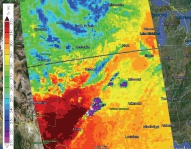
This is an image of an Oklahoma tornado on May 20, 2013 - AIRS infrared brightness temperatures show very cold cloud tops in the storm (violet), indicating extremely strong convection.
Oklahoma tornado, May 20, 2013 - AIRS infrared brightness temperatures show very cold cloud tops in the storm (violet), indicating extremely strong convection.

NASA's Goddard Earth Sciences Data and Information Services Center (GES DISC) is located within NASA's Goddard Space Flight Center in Greenbelt, Maryland. It provides access to a wide range of global climate data, concentrated primarily in the areas of atmospheric composition, atmospheric dynamics, global precipitation, and solar irradiance. GES DISC supports data from many heritage and EOS missions including AquaAura, Solar Radiation and Climate Experiment (SORCE), Tropical Rainfall Measuring Mission (TRMM), Upper Atmosphere Research Satellite (UARS), and Earth Probe/Total Ozone Mapping Spectrometers (TOMS). GES DISC also provides data subsetting, exploration, visualization, and access services.

Global Climate Data

GES DISC data sets can be accessed through the online Data Holdings page which provides several search and order methods, including the keyword-based Mirador and Open-source Project for a Network Data Access Protocol (OPeNDAP), as well as Earthdata Search.

Contact Information

Dr. David J. Meyer, DAAC Manager
Gary Alcott, DAAC Operations Manager
Jim Acker, User Services Lead
Mahabal Hegde, Chief Architect
Dr. Jennifer Wei, DAAC Lead Scientist

NASA Goddard Space Flight Center (GSFC)
Code 610.2
Greenbelt, MD 20771 USA

Website: https://disc.gsfc.nasa.gov/ 
Last Updated

You Might Also Be Interested In

Filter By

Content type
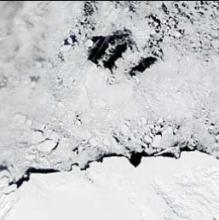
This image of the Oates and Pennell Coasts of Antarctica, acquired by MODIS on December 3, 2002, shows several large polynyas.
Article
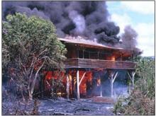
In 1990, slow-moving pahoehoe lava from Kilauea Volcano gradually spread through the community of Kalapana, burning homes and covering parks, roads, and gardens. (Image courtesy of USGS)
Article
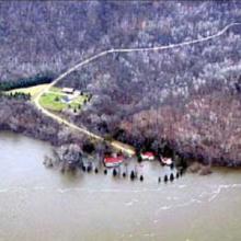
Periodic flooding in the Mississippi Valley can affect residents as far north as Minnesota and as far south as Louisiana. In May 2001, the Mississippi River flooded this house south of Red Wing, Minnesota.
Article
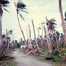
Damage from a category 5 typhoon completely wiped out a coconut and breadfruit plantation in the Caroline Islands, located east of the Philippines in the Pacific Ocean.
Article
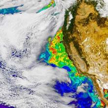
This false-color SeaWiFS image, acquired on October 6, 2002, shows a phytoplankton bloom off the California coast.
Article
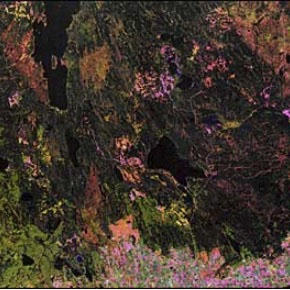
Landsat captured this image of the region around Prince Albert, Saskatchewan in 1990.
Article
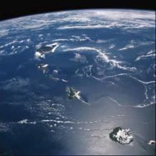
This picture of the Hawaiian Islands was taken from the Shuttle Discovery in September 1988.
Article