Some of NASA's Earth Observing System Data and Information System (EOSDIS) Distributed Active Archive Centers (DAACs) provide geospatial services; specifically, web map services (WMS), web feature services (WFS), and web coverage services (WCS), providing access to a variety of GIS-ready datasets. Many of the URLs needed for data access are specific to the DAAC, and in some cases specific to the dataset. The sections below provide the datasets available for that given topic and the DAAC responsible for the geospatial service.
Atmosphere
Global Imagery Browse Service (GIBS)
| Datasets Provided: | Aerosol optical depth/thickness (AOD/AOT), Clouds, Chemistry (Nitrogen Dioxide, Carbon Monoxide, Sulfur Dioxide, Ozone, Water Vapor, Methane), Wind speed, Dust, Humidity, Air Temperature, Radiation, Flux, Lightning, Evaporation, Climatology, Albedo, Particulate Matter |
The GIBS WMS base URL is: https://gibs.earthdata.nasa.gov/wms/INSERT_PROJECTION/best/wms.cgi?SERVICE=WMS&VERSION=INSERT_VERSION&REQUEST=INSERT_REQUEST
- GIBS supporters the following projections for the INSERT_PROJECTION value:
Projection Code for INSERT_PROJECTION WGS 84 / Geographic - EPSG:4326 epsg4326 Web Mercator - EPSG:3857 epsg3857 Arctic polar stereographic - EPSG:3413 epsg3413 Antarctic polar stereographic - EPSG:3031 epsg3031 - GIBS supports 1.1.1 and 1.3.0 for the INSERT_VERSION value
- GIBS supports GetCapabilities and GetMap for the INSERT_REQUEST value
For a complete list of imagery products, see GIBS Available Imagery Products.
Biosphere
GIBS
| Datasets Provided: | Amphibian/Mammal Richness, Normalized Difference Vegetation Index (NDVI), Enhanced Vegetation Index (EVI), Chlorophyll, Photosynthetically Active Radiation (FPAR), Primary Productivity, Leaf Area Index (LAI) |
The GIBS WMS base URL is: https://gibs.earthdata.nasa.gov/wms/INSERT_PROJECTION/best/wms.cgi?SERVICE=WMS&VERSION=INSERT_VERSION&REQUEST=INSERT_REQUEST
- GIBS supporters the following projections for the INSERT_PROJECTION value:
Projection Code for INSERT_PROJECTION WGS 84 / Geographic - EPSG:4326 epsg4326 Web Mercator - EPSG:3857 epsg3857 Arctic polar stereographic - EPSG:3413 epsg3413 Antarctic polar stereographic - EPSG:3031 epsg3031 - GIBS supports 1.1.1 and 1.3.0 for the INSERT_VERSION value
- GIBS supports GetCapabilities and GetMap for the INSERT_REQUEST value
For a complete list of imagery products, see GIBS Available Imagery Products.
Land Processes Distributed Active Archive Center (LP DAAC)
| Datasets Provided: | Moderate Resolution Imaging Spectroradiometer (MODIS) Surface Reflectance, MODIS Normalized Difference Vegetation Index (NDVI), MODIS Leaf Area Index (LAI), MODIS Gross Primary Productivity, MODIS Land Cover |
The datasets can be accessed directly within a GIS program, by adding a WMS layer as: https://lpdaacgis.cr.usgs.gov/arcgis/services/WMS/INSERT_DATASET/ImageServer/WMSServer?
Datasets include:
| Dataset | Code for INSERT_DATASET |
|---|---|
| MODIS Surface Reflectance | MOD09A1_006_Surface_Reflectance |
| MODIS NDVI | MOD13Q1_006_250m_16_days_NDVI |
| MODIS Leaf Area Index | MOD15A2H_006_Lai_500m |
| MODIS GPP | MOD17A2H_006_Gpp_500m |
| MODIS Percent Tree Cover | MOD44B_006_Percent_Tree_Cover |
| MODIS Land Cover Type | MCD12Q1_006_LC_Type1 |
Oak Ridge National Laboratory DAAC (ORNL DAAC)
| Datasets Provided: | Leaf Area Index (LAI), Conterminous US Above Ground Biomass, Conterminous US Forest Gross Emissions, Conterminous US Forest Litter Carbon Pool, Woody Debris Carbon/Fine Root Carbon, Normalized Difference Vegetation Index (NDVI), Forest Age Distribution, Forest Area, Forest Biomass, Fraction of Photosynthetically Active Radiation (FPAR), Tree Mortality (from Bark Beetles and Fires) |
ORNL DAAC datasets can be accessed directly within a GIS program, by adding a WMS or a WCS layer.
Cryosphere
GIBS
| Datasets Provided: | Sea Ice, Snow Depth/Cover, Snow Water Equivalent, Freeze/thaw, Albedo, Ice Surface Temperature, Snow Extent |
The GIBS WMS base URL is: https://gibs.earthdata.nasa.gov/wms/INSERT_PROJECTION/best/wms.cgi?SERVICE=WMS&VERSION=INSERT_VERSION&REQUEST=INSERT_REQUEST
- GIBS supporters the following projections for the INSERT_PROJECTION value:
Projection Code for INSERT_PROJECTION WGS 84 / Geographic - EPSG:4326 epsg4326 Web Mercator - EPSG:3857 epsg3857 Arctic polar stereographic - EPSG:3413 epsg3413 Antarctic polar stereographic - EPSG:3031 epsg3031 - GIBS supports 1.1.1 and 1.3.0 for the INSERT_VERSION value
- GIBS supports GetCapabilities and GetMap for the INSERT_REQUEST value
For a complete list of imagery products, see GIBS Available Imagery Products.
National Snow and Ice Data Center DAAC (NSIDC DAAC)
| Datasets Provided: | Sea Ice (Concentration, Extent, Age), Greenland Melt, Glaciers |
NSIDC DAAC datasets can be accessed directly within a GIS program, by adding a WMS layer as https://nsidc.org/api/mapservices/NSIDC/ows?version=1.3.0.
Glaciers specific: http://www.glims.org/mapservice/
Hydrosphere
GIBS
| Datasets Provided: | Land Surface Temperature, Precipitation/Rain, Sea Surface Temperature, Water Vapor, Soil Moisture, Dams and Reservoirs, Freeze/thaw, Chlorophyll, Cyclone/Flood Hazards, Sea Surface Currents, Sea Surface Salinity, Sea Surface Height |
The GIBS WMS base URL is: https://gibs.earthdata.nasa.gov/wms/INSERT_PROJECTION/best/wms.cgi?SERVICE=WMS&VERSION=INSERT_VERSION&REQUEST=INSERT_REQUEST
- GIBS supporters the following projections for the INSERT_PROJECTION value:
Projection Code for INSERT_PROJECTION WGS 84 / Geographic - EPSG:4326 epsg4326 Web Mercator - EPSG:3857 epsg3857 Arctic polar stereographic - EPSG:3413 epsg3413 Antarctic polar stereographic - EPSG:3031 epsg3031 - GIBS supports 1.1.1 and 1.3.0 for the INSERT_VERSION value
- GIBS supports GetCapabilities and GetMap for the INSERT_REQUEST value
For a complete list of imagery products, see GIBS Available Imagery Products.
Physical Oceanography DAAC (PO.DAAC)
| Datasets Provided: | Geodetics Gravity, Ocean Circulation, Ocean Temperature, Ocean Winds, Salinity/Density, Sea Surface Topography |
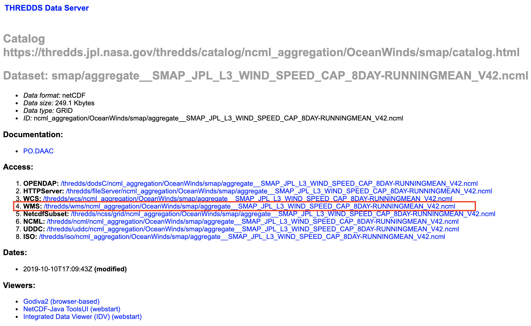
Thematic Real-time Environmental Distributed Data Services (THREDDS) Data Server (TDS) is a web server that provides metadata and data access for scientific oceanography datasets, using a variety of remote data access protocols, including WMS. A list of existing GIS-ready datasets can be found at the TDS Catalog. Drill down within your area of interest and a WMS and a WCS URL will be provided.
ORNL DAAC
| Datasets Provided: | Surface Water Extent (Boreal Regions), Amazon Rainfall/Wetlands, Precipitation, Wet Day Frequency, Lakes, Last Day of Spring Snow, Land Surface Fractional Open Water, Daymet Climatology |
ORNL DAAC datasets can be accessed directly within a GIS program, by adding a WMS or a WCS layer.
Land
GIBS
| Datasets Provided: | Elevation, Soil Moisture, Surface Reflectance, Land Surface Temperature, Thermal Anomalies and Fires, Land Cover/Land Use, Drought, Landslide/Volcano Hazards |
The GIBS WMS base URL is: https://gibs.earthdata.nasa.gov/wms/INSERT_PROJECTION/best/wms.cgi?SERVICE=WMS&VERSION=INSERT_VERSION&REQUEST=INSERT_REQUEST
- GIBS supporters the following projections for the INSERT_PROJECTION value:
Projection Code for INSERT_PROJECTION WGS 84 / Geographic - EPSG:4326 epsg4326 Web Mercator - EPSG:3857 epsg3857 Arctic polar stereographic - EPSG:3413 epsg3413 Antarctic polar stereographic - EPSG:3031 epsg3031 - GIBS supports 1.1.1 and 1.3.0 for the INSERT_VERSION value
- GIBS supports GetCapabilities and GetMap for the INSERT_REQUEST value
For a complete list of imagery products, see GIBS Available Imagery Products.
LP DAAC
| Datasets Provided: | Surface Reflectance, Land Surface Temperature, Fire Mask, Land Cover/Land Use |
The datasets can be accessed directly within a GIS program, by adding a WMS layer as: https://lpdaacgis.cr.usgs.gov/arcgis/services/WMS/INSERT_DATASET/ImageServer/WMSServer?
Datasets include:
| Dataset | Code for INSERT_DATASET |
|---|---|
| MODIS Surface Reflectance | MOD09A1_006_Surface_Reflectance |
| MODIS Land Surface Temperature | MOD11A2_006_LST_Day_1km |
| MODIS Fire Mask (Confidence of fire) | MOD14A2_006_FireMask |
| MODIS Land Cover Type | MCD12Q1_006_LC_Type1 |
ORNL DAAC
| Datasets Provided: | Ground Frost Frequency, Runoff Sub-basins, Land Cover, Land Surface Monthly, Evapotranspiration, Soil Types, Diurnal/Mean Temperature, Surface Skin Temperature, Snow Free Albedo, Normalized Burn Ratio |
ORNL DAAC datasets can be accessed directly within a GIS program, by adding a WMS or a WCS layer.
Human Dimensions
GIBS
| Datasets Provided: | Agriculture, Population, Urban Extent, Human Footprint, Man-Made Impervious, Built-up Settlement, Cyclone/Drought/Flood Hazards, Power Plants, Nighttime Lights |
The GIBS WMS base URL is: https://gibs.earthdata.nasa.gov/wms/INSERT_PROJECTION/best/wms.cgi?SERVICE=WMS&VERSION=INSERT_VERSION&REQUEST=INSERT_REQUEST
- GIBS supporters the following projections for the INSERT_PROJECTION value:
Projection Code for INSERT_PROJECTION WGS 84 / Geographic - EPSG:4326 epsg4326 Web Mercator - EPSG:3857 epsg3857 Arctic polar stereographic - EPSG:3413 epsg3413 Antarctic polar stereographic - EPSG:3031 epsg3031 - GIBS supports 1.1.1 and 1.3.0 for the INSERT_VERSION value
- GIBS supports GetCapabilities and GetMap for the INSERT_REQUEST value
For a complete list of imagery products, see GIBS Available Imagery Products.
ORNL DAAC
| Datasets Provided: | Crops, Drought Code/Severity Index, Population Density |
ORNL DAAC datasets can be accessed directly within a GIS program, by adding a WMS or a WCS layer.
- WMS: http://webmap.ornl.gov/ogcbroker/wms?service=WMS&version=1.1.1&request=GetCapabilities
- WCS: https://webmap.ornl.gov/ogcbroker/wcs?
Socioeconomic Data and Applications Center (SEDAC)
| Datasets Provided: | Human Footprint, Anthropogenic Biomes, Development Threat, Cyclone/Drought/Flood/Earthquake/Landslide/Volcano Hazards, Population Count/Density, Urban Extent, Fertilizers, Statistical Areas |
SEDAC datasets can be accessed directly within a GIS program, by adding a WCS layer as https://sedac.ciesin.columbia.edu/geoserver/wcs?