Advanced Spaceborne Thermal Emission and Reflection Radiometer (ASTER)

satellite

The Advanced Spaceborne Thermal Emission and Reflection Radiometer (ASTER) obtains high-resolution images of Earth in 14 different wavelengths of the electromagnetic spectrum, ranging from visible to thermal infrared light. Scientists use ASTER data to create detailed maps of land surface temperature, emissivity, reflectance, and elevation. ASTER is the only high spatial resolution instrument aboard the Terra satellite. 
ASTER

You Might Also Be Interested In

Filter By

Content type
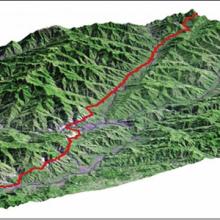
A three-dimensional view, looking to the southeast, shows the fault that ruptured during the 2005 Kashmir earthquake.
Article
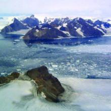
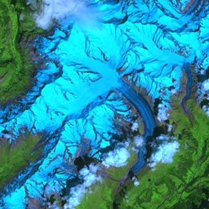
the Melville, Mapple, and Crane Glaciers; Jorum Glacier is in the foreground.
Article
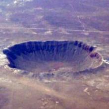
Image Meteor Crater Meteor Crater, located in north-central Arizona, is one of the most recent and well-preserved impact crater sites on Earth.
Article
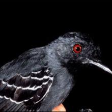
Birds and other animals are often specially adapted to living in the cool, dark habitat below the thick rainforest canopy.
Article
This ASTER image, acquired on July 23, 2001, shows Aletsch Glacier, the largest glacier of Europe. (Image by NASA Earth Observatory Team, based on data provided by the ASTER Science Team)
Article
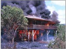
In 1990, slow-moving pahoehoe lava from Kilauea Volcano gradually spread through the community of Kalapana, burning homes and covering parks, roads, and gardens. (Image courtesy of USGS)
Article
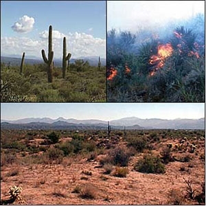
These photographs show the Sonoran Desert in different stages: normal vegetation (upper left), burning desert (upper right), and a landscape with burned areas in the foreground and unburned desert behind.
Article