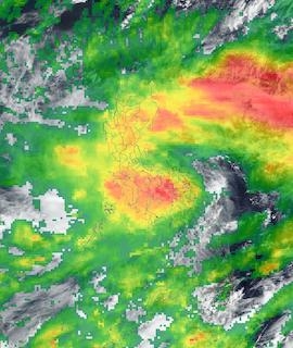
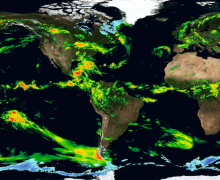
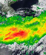
The Global Precipitation Measurement Microwave Imager (GMI) aboard the joint NASA/Japan Aerospace Exploration Agency Global Precipitation Measurement (GPM) Core Observatory provides a near-global view of cyclones and other storm systems. The 13 channels of this microwave radiometer are sensitive to different frequencies of microwave energy emitted from or affected by precipitation. Five channels are sensitive to heavy and moderate rainfall, four channels sense precipitation mixtures of snow and ice within clouds, and four channels are sensitive to water vapor and snowfall. Multiple channels in each category ensure that GMI captures as full a range as possible of precipitation types. GMI data are used as a reference standard for an international network of GPM partner precipitation-measuring satellites comprising the GPM Constellation.