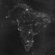
Visible Infrared Imaging Radiometer Suite (VIIRS)

satellite

The Visible Infrared Imaging Radiometer Suite (VIIRS) is aboard the joint NASA/NOAA Suomi National Polar-orbiting Partnership (Suomi NPP) and NOAA-20 satellites. VIIRS collects visible and infrared imagery along with global observations of Earth's land, atmosphere, cryosphere, and ocean. VIIRS extends observational records collected by similar instruments aboard previously-launched satellites, such as NASA's Moderate Resolution Imaging Spectroradiometer (MODIS) and NOAA's Advanced Very High Resolution Radiometer (AVHRR). VIIRS snow cover and sea ice algorithms are specifically designed for compatibility with MODIS snow cover and sea ice datasets, which ensures continuity between MODIS and VIIRS data products and supports comparison of snow and sea ice data over the lives of MODIS, VIIRS, and beyond to facilitate long-term climate data records.
You Might Also Be Interested In

Filter By

Content type
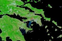
False-color image of fires and burned areas in Greece on 19 July 2023 from the VIIRS instrument aboard the joint NASA/NOAA NOAA-20 satellite
Worldview Image of the Week
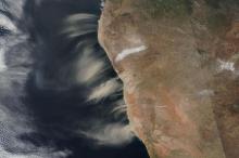
Image of blowing dust and salt in Namibia on 11 July 2023 from the VIIRS instrument aboard the joint NASA/NOAA Suomi NPP satellite.
Worldview Image of the Week
This is a general image for new datasets.
Program
This thumbnail shows a part of the initial screen a user sees when accessing TESViS's FIxed Subset Tool. There is a grapscale map of the world, showing continents in white. In several places over the land masses are green dots representing the location of the more than 3,000 field and flux tower sites whose data is used in the validation of models and remote sensing products.
Article
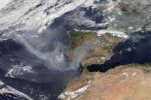
Image of smoke from fires in Canada reaching Europe on 27 June 2023 from the VIIRS instrument aboard the joint NASA/NOAA NOAA-20 satellite
Worldview Image of the Week
A headshot of Dr. Eric Wilcox, Research Professor of Atmospheric Science at the Desert Research Institute. Dr. Wilcox, who is wearing glasses and a light blue oxford shirt is standing, arms crossed, before a tree-filled background.
Data User Profile
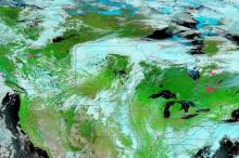
False color image of fires burning across Canada on 21 June 2023 from the VIIRS instrument aboard the joint NASA/NOAA Suomi NPP Satellite
Worldview Image of the Week