Tectonic Landforms

Tectonic Landforms RSS Feed

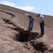
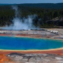
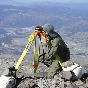
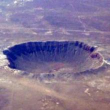
'Tectonic landforms' are structural landforms of regional extent. These landforms make up extensive landscapes whose topography is strongly influenced by the structure of underlying rocks that have undergone (or are undergoing) some degree of deformation (and possible associated metamorphism and igneous intrusion). Landscapes developed on orogenic belts, uplifts, domes, basins, and shields can all be thought of as tectonic landforms. 'Tectonic processes' are large-scale geologic processes that develop these landforms and include mountain building and crustal rifting.


Definition source: National Oceanic and Atmospheric Administration

Sub-Topics

You Might Also Be Interested In

Filter By

Content type
Researchers Matthew Pritchard and Gabriel Gonzalez examine a large crack caused by an earthquake in the Atacama Desert of northern Chile.
Article
Thermophilic bacteria give Grand Prismatic Spring in Yellowstone National Park its many hues.
Article
The eruption of Chaitén Volcano in Chile in May 2008 triggered dramatic lightning displays, illuminating the ash and smoke plume.
Article
A researcher checks the calibration of a ground-mounted Global Positioning System (GPS) station on Mount St. Helens.
Article
Image Meteor Crater Meteor Crater, located in north-central Arizona, is one of the most recent and well-preserved impact crater sites on Earth.
Article
In 1990, slow-moving pahoehoe lava from Kilauea Volcano gradually spread through the community of Kalapana, burning homes and covering parks, roads, and gardens. (Image courtesy of USGS)
Article
ASTER acquired this image of Mount St. Helens on August 8, 2000.
Article
False-color composite image of Mount Kilauea, red indicates solidified rock from previous lava flows.
Article