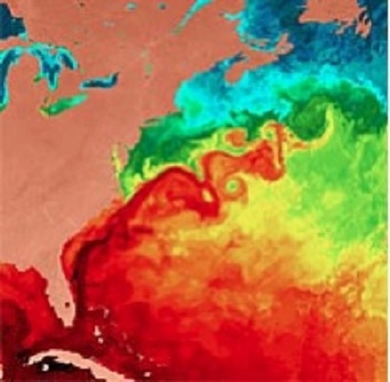
NASA's Goddard Earth Sciences Data and Information Services Center (GES DISC) is located within NASA's Goddard Space Flight Center in Greenbelt, Maryland. It provides access to a wide range of global climate data, concentrated primarily in the areas of atmospheric composition, atmospheric dynamics, global precipitation, and solar irradiance. GES DISC supports data from many heritage and EOS missions including Aqua, Aura, Solar Radiation and Climate Experiment (SORCE), Tropical Rainfall Measuring Mission (TRMM), Upper Atmosphere Research Satellite (UARS), and Earth Probe/Total Ozone Mapping Spectrometers (TOMS). GES DISC also provides data subsetting, exploration, visualization, and access services.
Global Climate Data
GES DISC data sets can be accessed through the online Data Holdings page which provides several search and order methods, including the keyword-based Mirador and Open-source Project for a Network Data Access Protocol (OPeNDAP), as well as Earthdata Search.
Contact Information
Dr. David J. Meyer, DAAC Manager
Gary Alcott, DAAC Operations Manager
Jim Acker, User Services Lead
Mahabal Hegde, Chief Architect
Dr. Jennifer Wei, DAAC Lead Scientist
NASA Goddard Space Flight Center (GSFC)
Code 610.2
Greenbelt, MD 20771 USA
Website: https://disc.gsfc.nasa.gov/