We are in the process of migrating all NASA Earth science data sites into Earthdata from now until end of 2026. Not all NASA Earth science data and resources will appear here until then. Thank you for your patience as we make this transition.
Read about the Web Unification Project
Featured Topics
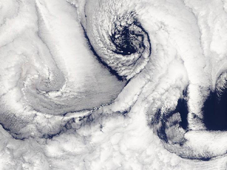
NASA data help researchers characterize processes occurring within Earth’s atmosphere and their interactions with its land, ocean, and ecosystems.
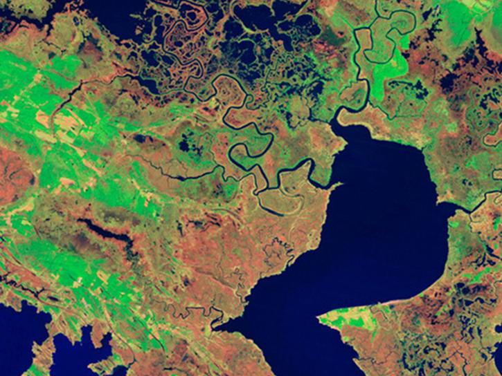
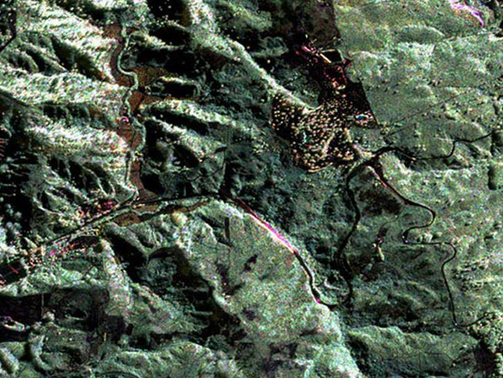
NASA biosphere data are critical for understanding Earth's many different species, climate regulation and change, and its ecosystem processes.
NASA data help researchers characterize processes occurring within Earth’s atmosphere and their interactions with its land, ocean, and ecosystems.
NASA biosphere data are critical for understanding Earth's many different species, climate regulation and change, and its ecosystem processes.
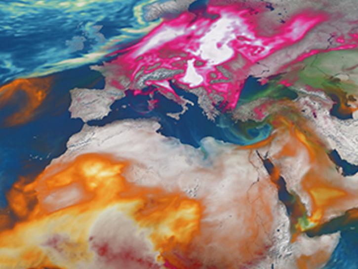
NASA data related to climate indicators provide measurements of climate and help predict how changes will effect the planet.
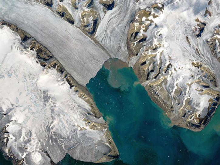
NASA has data on sea ice, glaciers, snow cover, and other frozen features that comprise Earth’s cryosphere and effect human activity and our planet.
NASA has data related to many facets of human existence including health, economics, settlements and infrastructure, natural hazards, and land use.
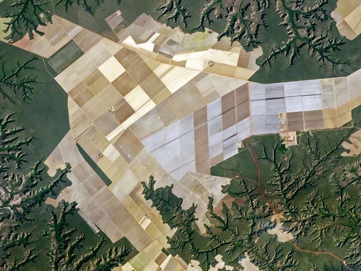
NASA has data related to land composition and cover, topography, other properties that characterize the ecological state of Earth’s solid surfaces.
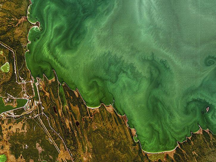
NASA collects information that helps us better understand how our oceans work. By studying these connections, we can learn more about our planet's water systems and how they affect life on Earth.
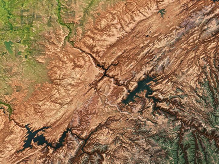
NASA collects data on Earth’s solid surface and interior to help us understand the planet's features, dynamics, and processes.
