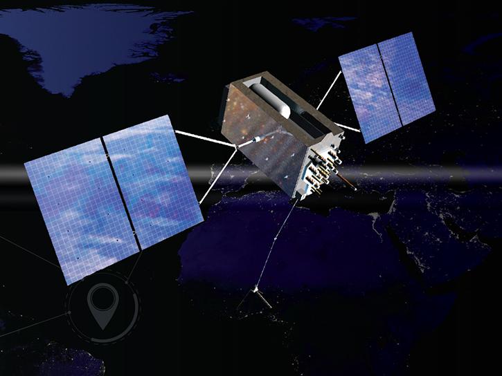
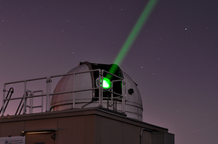
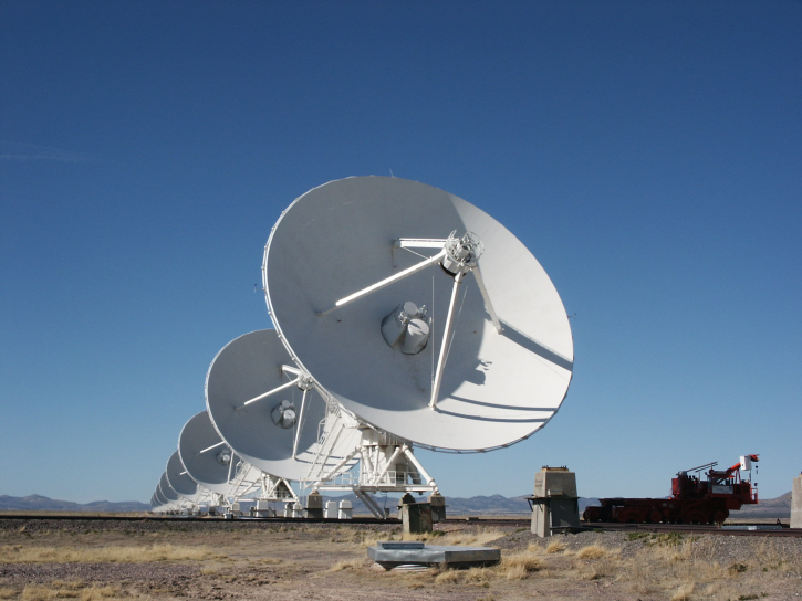
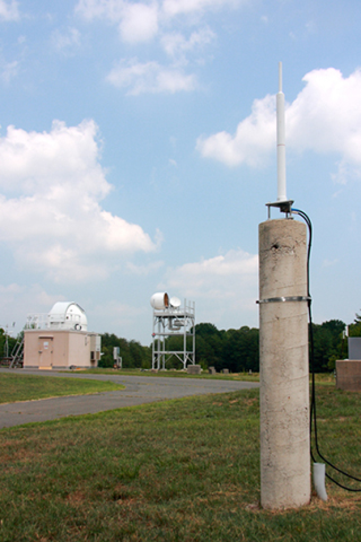
Geodesy is the science of the Earth’s shape, gravity, and rotation, including their evolution in time. Several techniques are used to observe the geodetic properties of the Earth, including Global Navigation Satellite Systems (GNSS), Satellite Laser Ranging (SLR), Very Long Baseline Interferometry (VLBI), and the Doppler Orbitography and Radio-Positioning by Integrated Satellite (DORIS) system.
These space-geodetic observations also provide the basis for the reference frame that is needed in order to assign coordinates to points and objects and thereby determine how those points and objects move over time.
Learn more about these space geodetic techniques and their respective data holdings, which are archived by NASA’s Crustal Dynamics Data Information System (CDDIS).