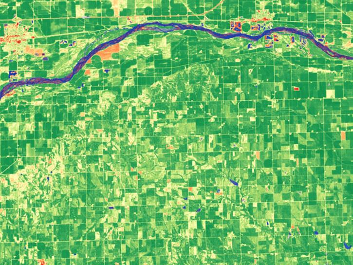
Landsat OLI Image of Solway Firth
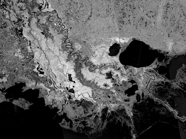
Synthetic Aperture Radar (SAR) Image
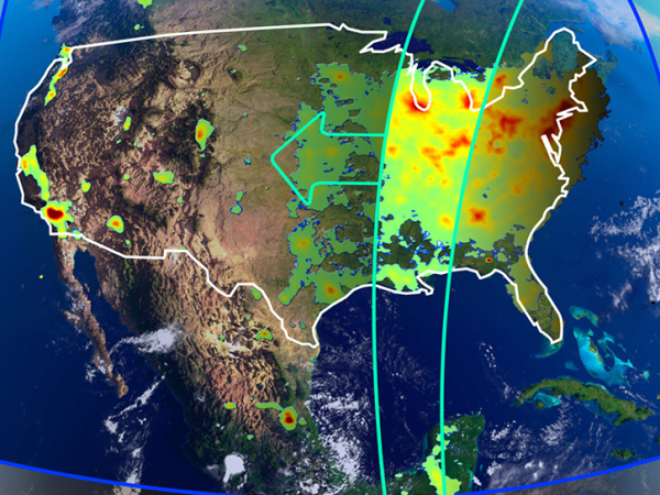
TEMPO Image

ARSET

Applied Remote Sensing Training Program

The Applied Remote Sensing Training (ARSET) program offers online and in-person trainings for beginners through advanced practitioners. Participants in our trainings build skills to use remote sensing data for a range of applications related to air quality, public health, agriculture, disasters, ecological conservation, water resource management, climate resilience, and wildland fires. From ‘How do satellites work?’ to ‘How can I use satellite data to make a flood map?’ there are trainings available for all levels of experience.

Funding Programs

NASA Earth Action Capacity Building Program

Since 2009, our program has trained more than 140,000 participants from 186 countries and more than 19,000 organizations worldwide. ARSET is part of the NASA Earth Action Capacity Building Program. 

Not sure where to start? Browse our list of trainings. You can filter by theme, training level, and training type. Or, browse our Online Resource Guide to quickly see descriptions of all of our online trainings since 2015. 

Learn more about our types and levels of training.

New to remote sensing and Earth observations? Check out our new interactive online, self-paced Fundamentals of Remote Sensing training on the ARSET learning management system to start learning.

Contact us or find answers to Frequently Asked Questions on our Resources page.

Image

Application Areas

Find trainings related to food security and agriculture. These trainings cover a wide variety of applications using satellite and modeled data.

  • Crop mapping
  • Soil moisture and evapotranspiration observations for water resources and agricultural management
  • Large-scale data and machine learning applications
  • Synthetic Aperture Radar (SAR) observations for crop identification and characterization

Find trainings that address climate risk, mitigation, and adaptation.

  • Climate-related risks including sea level change, coastal storm impacts, and landslides
  • Climate projections
  • Greenhouse gas monitoring
  • Renewable energy management

ARSET offers training on the use of remote sensing observations for disaster monitoring, preparedness, and relief.

  • Wildland fire risk, detection, and analysis
  • Flood monitoring and management
  • Synthetic Aperture Radar (SAR) observations for detection of floods, sea ice, subsidence, oil slicks,landslides, and more
  • Assessment of urban heat islands and other human impacts

Ecological Conservation trainings focus on access, interpretation, and processing of NASA Earth Observation data for a variety of terrestrial and aquatic applications.

  • Land cover and land use change detection
  • Calculating vegetation indices
  • Monitoring of coastal and marine ecosystems
  • Biodiversity management

ARSET has a variety of trainings that address health and air quality.

  • Aerosols, trace gases, smoke, dust, and particulate matter data access and applications
  • Long range transport of atmospheric pollutants
  • Surface and satellite data validation
  • Waterborne and vector-borne diseases

ARSET’s water resources trainings focus on accessing, interpreting, and applying remote sensing and model-based hydrologic cycle components and water quality parameters.

  • Drought monitoring, prediction, and projection
  • Water quality monitoring in inland, coastal, and estuarine water bodies
  • Agricultural applications related to drought and evapotranspiration

ARSET has a variety of trainings that address fire risk, detection, and analysis, as well as related topics including air quality and watershed impacts.

  • Monitoring pre-fire conditions
  • Pre-fire risk assessment
  • Active fire and smoke detection
  • Post-fire burn severity mapping
  • Pre- and post- fire riverine and freshwater water quality analysis

Featured Trainings

New to remote sensing and Earth observations? Check out our new interactive online, self-paced Fundamentals of Remote Sensing training on the ARSET learning management system to start learning.

Image