Center Overview
This virtual resource center is designed to help users find information about NASA's airborne and field (or suborbital) campaign measurements and instruments; provide links to tools and services for data discovery, access, and visualization; and gather learning resources for working with these unique data products.
If you are a data producer interested in submitting your suborbital data for archival and distribution, we have information about data standards and the process for submitting your data to NASA's Earthdata Archive.
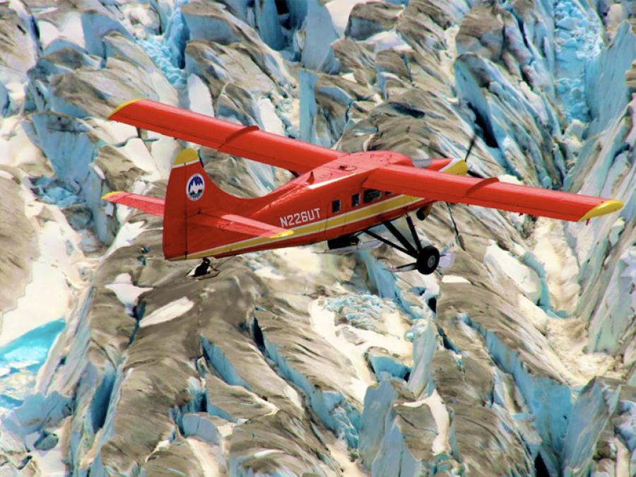
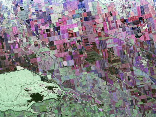
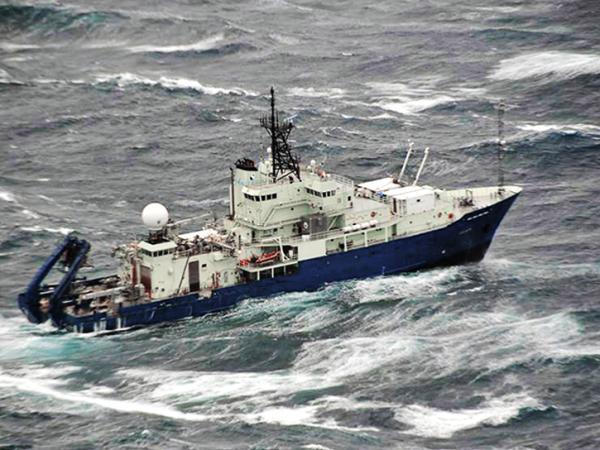
NASA airborne and field campaign investigations cover a wide range of technologies and measurements from passive remote sensing (multi-spectral, hyperspectral) to active remote sensing (laser altimeters, synthetic aperture radar), and in situ sensors. These unique datasets are used to study atmospheric chemistry and composition, hazardous weather, dynamic physical processes, snow and ice, climate, terrestrial hydrology, biogeochemistry, ecology, and more.
NASA’s Airborne Science Program
The Airborne Science Program (ASP) within the Earth Science Division is responsible for providing aircraft systems that further science and advance the use of satellite data. The primary objectives of this program are to:
- Calibrate and validate satellite measurments: Provide platforms to enable essential calibration measurements for the Earth-observing satellites, and the validation of data retrieval algorithms.
- Support new sensor development: Provide sub-orbital flight opportunities to test and refine new instrument technologies/algorithms, and reduce risk prior to committing sensors for launch into space.
- Conduct process studies: Obtain high-resolution temporal and spatial measurements of complex local processes, which can be coupled to global satellite observations for a better understanding of the complete Earth system.
- Develop the next generation of scientists and engineers: Foster the development of our future workforce with the hands-on involvement of graduate students and young scientists/engineers in all aspects of ongoing Earth science investigations.
To meet these observing objectives, ASP maintains and operates a suite of sustained, ongoing platforms and sensors on which investigators can rely from year to year.
SubOrbital Archive Readiness (SOAR) Team
As NASA's Earth Science Data and Information System (ESDIS) project undergoes a significant organizational and technical evolution, the SubOrbital Archive Readiness (SOAR) team currently serves as the primary link between airborne data producers and science teams and the Earthdata repository. SOAR is a multi-disciplinary team of suborbital data stewardship experts that provide continued support for NASA-funded airborne and field campaigns and a consistent, reliable communication channel for the duration of the ESDIS transformation. Established in 2026, SOAR aims to ensure NASA airborne and field campaign observations are stewarded in alignment with FAIR and open science principles.
Catalog of Archived Suborbital Earth Science Investigations (CASEI)
NASA's Airborne Data Management Group (ADMG) developed and built CASEI as a comprehensive inventory to facilitate quick access to detailed information about NASA’s airborne and field investigations and links to associated data products. CASEI provides intensively curated information about the context, research motivation, funding, and details of non-satellite, sub-orbital instruments and platforms. Information about important events and geophysical concepts and observations are included—all in a single intuitive and highly interconnected web user interface and a fully documented API. As part of the ADMG and SOAR transition, core functionalities of CASEI will be infused into ESDIS and streamlined into the Earthdata web presence.
NASA's Airborne and Field Data Workshops
NASA’s Airborne and Field Data Workshops, organized by individuals from ESDIS, ADMG, and DAACs, were virtual events held in 2022 and 2024 to gather information to improve the discoverability, accessibility, and usability of airborne and field data. The inaugural workshop, held in 2022, featured presentations and discussions from airborne and field data users and producers who focused on what was working well and what areas had room for improvement. The 2024 workshop featured discussions on activities conducted in response to recommendations from the 2022 workshop, and also focused on tools, standards, and alignment with NASA agency goals. A report was published after each workshop, summarizing the meeting and providing an overview of feedback and recommendations made by workshop participants. More information about the agendas, slides, and recordings of each workshop are available on their respective workshop page.
- 2024 Workshop Page (includes recordings)
- 2022 Workshop Page (includes recordings)
NASA collects, archives, and distributes airborne and field campaign data from around the globe, including its most remote regions. These datasets provide measurements of Earth’s atmosphere, biosphere, cryosphere, hydrosphere, and geosphere, and they help assess how humans are affected by and interact with the environment. This section provides information about NASA’s core airborne and field data discovery, data access, and data visualization tools.
Find and View Data
Earthdata Search
Earthdata Search is a data discovery and data access tool that allows for the discovery of more than 50,000 Earth observation data collections from NASA’s Earth Observing System Data and Information System (EOSDIS), as well as U.S and international agencies across Earth science disciplines. Multiple temporal and spatial filtering options are available, including filters by science area (keyword), Earthdata cloud availability, platform, and instruments. Customization (subsetting, regridding, reformatting) is available for select data collections.
Webinar: Learn How to Discover, Access, and Customize Multiple Datasets Using Earthdata Search
Catalog of Archived Suborbital Earth Science Investigations (CASEI)
CASEI is a comprehensive inventory that facilitates quick access to detailed information about NASA’s airborne and field investigations along with links to associated data products. NASA’s CASEI provides intensively curated information about the context, research motivation, funding, and details of non-satellite, sub-orbital instruments and platforms. Information about important events and geophysical concepts and observations are included, along with links to relevant data products, all in a single intuitive and highly interconnected web user interface and a fully documented API. CASEI was developed and built adjacent to ESDIS and is still openly available as ongoing work is infusing core CASEI functionality into ESDIS and the Earthdata web presence.
Webinar: Empowering Access to Airborne and Field Data with NASA's CASEI
CASEI Frequently Asked Questions
Sub-Orbital Order Tool
The Sub-Orbital Order Tool (SOOT) is designed to promote suborbital research and analysis by enhancing data findability, accessibility, and usability of atmospheric composition data products at a variable level. SOOT has two interfaces, a search mode and browse mode, as well as an API for machine actionability. SOOT’s search user interface (UI) is a cross-campaign faceted search and variable filtering tool. SOOT’s browse UI enables data exploration within each field campaign. This interface enables experienced users to quickly navigate to the particular data files needed for their analysis. SOOT also features an on-demand merge tool, which allows users to combine data from different instruments with desired variables from the same platform and flight to a common sampling time base. SOOT currently has 26 campaigns available, with more to be added in the future.
StoryMap: SOOT Power User Interface
Webinar: Powered Up Data—Getting to Know the Sub-Orbital Order Tool (SOOT) Power User Interface
Tutorial: Accessing Airborne and Field Campaign Data with the Sub-Orbital Order Tool
Vertex
Vertex provides a rich, intuitive interface for searching, ordering, and downloading SAR data and other thematic, remotely sensed datasets. Multiple spatial and temporal filtering options are available, including by shapefile, polygon, and more. Users can search SAR data by date and repeating seasonal periods, and many dataset-specific options are available such as product types, beam modes, polarizations, and more. Products can be downloaded directly, or in bulk quantities for large numbers of products.
VideoTutorial: Basic Geographic Search
Video Tutorial: Vertex Basic List Search
Video Tutorial: Vertex Search Results
User Guide
Webinar: Discover and Access SAR Data with ASF DAAC's Vertex: Better, Stronger, Faster
OpenScienceLab
Webinar: Jump-Start SAR Data Analysis in the Cloud with ASF’s OpenSARLab
Application Programming Interfaces (APIs)
NASA's Earthdata Developer Portal is for application developers who wish to build applications that search, access, and browse EOSDIS Earth science data. It is the central location for all publicly accessible developer documentation related to EOSDIS enterprise services and applications.
View and Visualize Data
Field Campaign Explorer
The Field Campaign eXplorer (FCX) is a cloud-native web-based 3D data visualization platform that can incorporate science data collected from instruments aboard aircraft, ground sensors, and satellites. The instrument data are displayed within an interactive map viewer along flight tracks. This advanced tool reduces the effort involved in discovering data, is designed for event-based research, allows for seamless movement between data visualization, discovery, and acquisition, and enhances the user experience by improving the usability of heterogeneous data.
Webinar: Shifting the Paradigm: Discover, Access, and Process Data With Cloud-Based Services
Data Learning Resources
Explore these resources to help navigate suborbital datasets, data tools, and other data information to get started with NASA’s suborbital data holdings. All learning resources are currently available under the Learn section on the Earthdata website.
User Guides: Dataset, campaign, and data tool reference guides provide information about the suborbital datasets or campaigns to include data characteristics, applications and derivation, quality assessment, data acquisition and data methodology. Dataset documentation is available on project pages, dataset landing pages and additional data tool user guides are available for most tools.
Data Citations and Acknowledgements
NASA promotes the full and open sharing of all data with the research and applications communities, private industry, academia, and the general public. NASA data are freely accessible; however, when you publish these data or works based on the data, we request that you cite the datasets within the text of the publication and include a reference to them in your reference list. This is important because by citing your use of a dataset, you are supporting the reproducibility of your research and attributing credit to those who provided the data—including datasets that you have created yourself. Citing data is also important for measuring the impact of your work.
GitHub Data Recipes, Jupyter Notebooks, and Tutorials
GIS Resources
GIS resources are also available for data users. NASA's Earthdata GIS (EGIS) resources enable access to GIS-ready NASA Earth science data, services, and resources—providing a consistent user experience and enhancing resource discovery through platforms commonly used by the GIS community.
StoryMaps
These interactive maps illustrate data stories for specific events or missions through a rich, visual experience using geospatial data imagery layers, web maps, and more.
- Alpha Jet Atmospheric Experiment (AJAX) Data-in-Action
- AJAX Flight Catalog
- Exploring the Connection Between Plankton and Clouds - The North Atlantic Aerosols and Marine Ecosystems Study (NAAMES)
- Oceans Melting Greenland (OMG) Mission
- An Introduction to the Tropospheric Ozone Lidar Network
- ACTIVATE StoryMap
Earthdata Forum: The Earthdata Forum provides a central, online location where data users can interact with subject matter experts from DAACs to discuss data applications and research needs, and to get answers to specific questions about accessing, viewing, and manipulating NASA Earth observation data.
Earthdata Support: You can submit a ticket here that will be filtered and triaged to the appropriate discipline-specific DAAC or subject matter experts.