Delivery of new Suomi National Polar-orbiting Partnership (Suomi NPP) satellite observations will cease on November 2, 2026. Data users should transition now to alternative products from NOAA-21 and NOAA-20.
Suomi NPP data announcement
Webinars
Our online webinars, trainings, and workshops feature experts in various disciplines who share their knowledge in a particular subject area, from data in the cloud to specific data tools.
Featured Webinars
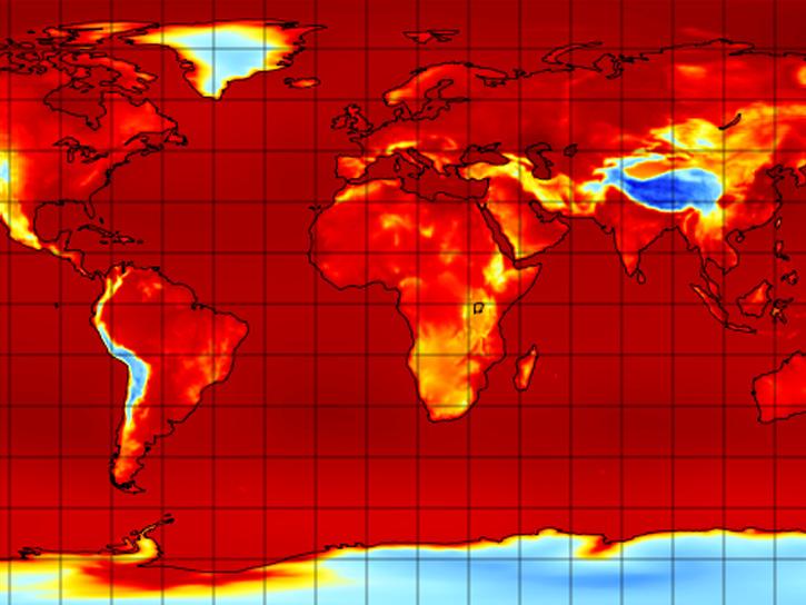
Learn the difference between downloading and streaming data, then work through an example.
Aug. 26, 2026,2:30-3:15 p.m. EDT(1830-1915 UTC)
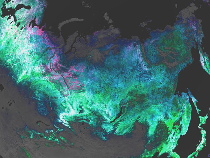
Learn about NASA’s Plankton, Aerosol, Cloud, ocean Ecosystem (PACE) mission, its data products and capabilities for terrestrial remote sensing, and how to explore the data through AppEEARS.
Sept. 23, 2026,1:00-2:00 p.m. EDT(1700-1800 UTC)
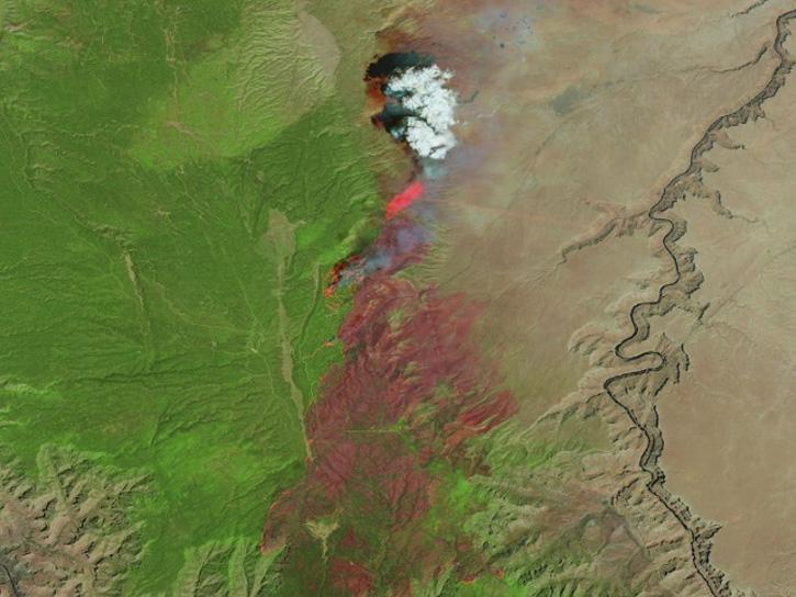
Learn how the Fire Information for Resource Management System (FIRMS) uses timely composite imagery to identify fire fronts, burned areas, and smoke.
July 16, 2026,2:00-3:30 p.m. EDT(1800-1930 UTC)
Filters
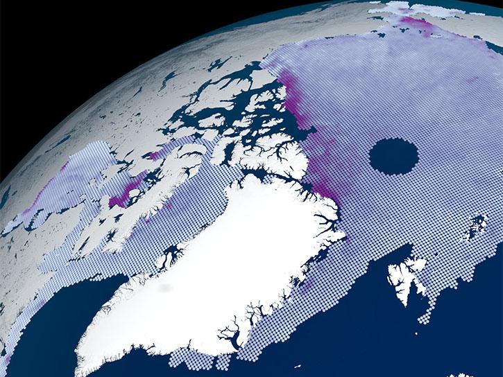
This short webinar explores a focused selection of the ATLAS/ICESat-2 "Quick Look" datasets.
Oct. 28, 2026,2:00-2:30 p.m. EDT(1800-1830 UTC)
Learn about NASA’s Plankton, Aerosol, Cloud, ocean Ecosystem (PACE) mission, its data products and capabilities for terrestrial remote sensing, and how to explore the data through AppEEARS.
Sept. 23, 2026,1:00-2:00 p.m. EDT(1700-1800 UTC)
Learn the difference between downloading and streaming data, then work through an example.
Aug. 26, 2026,2:30-3:15 p.m. EDT(1830-1915 UTC)
Learn how the Fire Information for Resource Management System (FIRMS) uses timely composite imagery to identify fire fronts, burned areas, and smoke.
July 16, 2026,2:00-3:30 p.m. EDT(1800-1930 UTC)
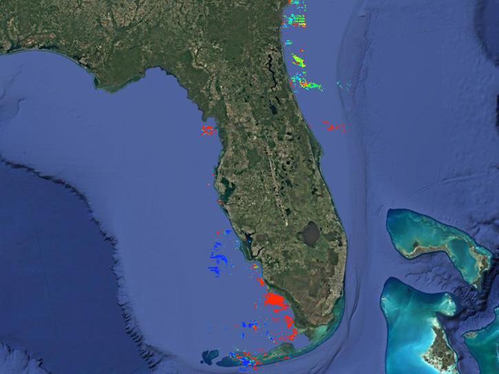
This NASA web-based tool enables near-real time monitoring of inland and coastal water quality across the U.S. and parts of Africa and South America.
July 1, 2026,2:00-3:00 p.m. EDT(1800-1900 UTC)
Diane Fritz, an associate scientist at NSIDC DAAC, demonstrates how to use the harmony-py Python library to customize data requests from the NASA Earthdata Cloud.
June 2, 2026,3:00-3:30 p.m. EDT(1900-1930 UTC)
User development specialist Timothy Frankstone presents a short walkthrough of content to help you discover data and other content for different Earth science topics.
May 27, 2026,2:00-2:15 p.m. EDT(1800-1815 UTC)
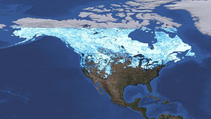
A data training webinar to learn about the ICESat-2 Global Geolocated Photons product and two snow depth estimation methods.
April 29, 2026,2:00-3:00 p.m. EDT(1800-1900 UTC)
SHOWING 8 OF 208