We are in the process of migrating all NASA Earth science data sites into Earthdata from now until end of 2026. Not all NASA Earth science data and resources will appear here until then. Thank you for your patience as we make this transition.
Read about the Web Unification Project
Webinars
Our online webinars, trainings, and workshops feature experts in various disciplines who share their knowledge in a particular subject area, from data in the cloud to specific data tools.
Featured Webinars

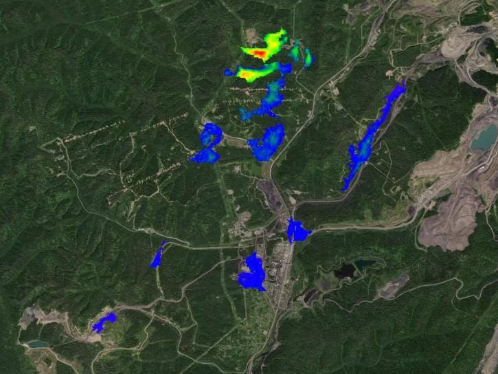
This NASA web-based tool enables near-real time monitoring of inland and coastal water quality across the U.S. and parts of Africa and South America.
July 1, 2026,2:00-3:00 p.m. EDT(1800-1900 UTC)

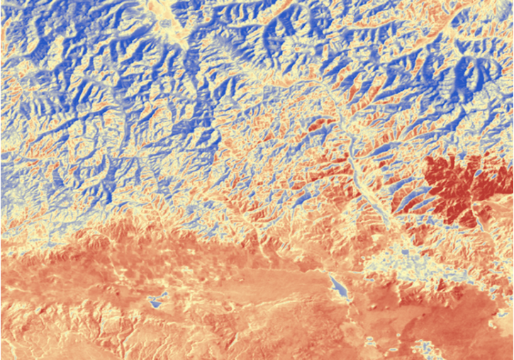
Learn how the Fire Information for Resource Management System (FIRMS) uses timely composite imagery to identify fire fronts, burned areas, and smoke.
July 16, 2026,2:00-3:30 p.m. EDT(1800-1930 UTC)

Diane Fritz, an associate scientist at NSIDC DAAC, demonstrates how to use the harmony-py Python library to customize data requests from the NASA Earthdata Cloud.
June 2, 2026,3:00-3:30 p.m. EDT(1900-1930 UTC)
Filters

Learn more about the NASA Commercial Satellite Data Acquisition (CSDA) program vendor ICEYE US and how to discover, access, and work with ICEYE's high-resolution SAR products.
April 30, 2025,2:00-3:15 p.m. EDT(1800-1915 UTC)
Learn how to use the Open-source Project for a Network Data Access Protocol (OPeNDAP) to access NASA’s Earth science datasets—specifically those in HDF5, HDF4, and HDF4-EOS2 formats.
April 23, 2025,2:00-3:15 p.m. EDT(1800-1915 UTC)

Learn how to use NASA Worldview, a satellite imagery mapping tool that provides access to over 1,000 visualized data products—many of which are available within three hours or less after a satellite observation—to enable exploration of Earth's interconnected processes and events.
April 16, 2025,2:00-3:15 p.m. EDT(1800-1915 UTC)
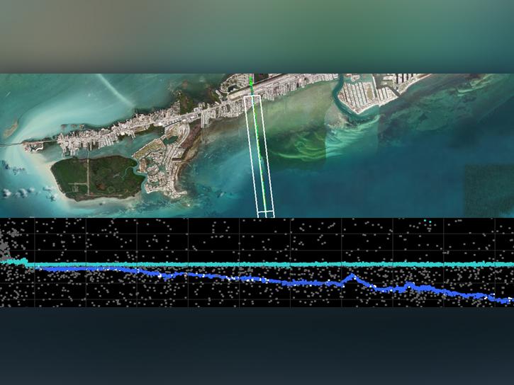
In the third webinar of the ICESat-2 series, learn how to discover, access, and work with a new bathymetric data product, ATL24.
April 9, 2025,2:00-3:30 p.m. EDT(1800-1930 UTC)
Learn more about the NASA Commercial Satellite Data Acquisition (CSDA) program vendor GHGSat and how to discover, access, and work with their commercial methane emissions data products.
March 19, 2025,2:00-3:15 p.m. EDT(1800-1915 UTC)
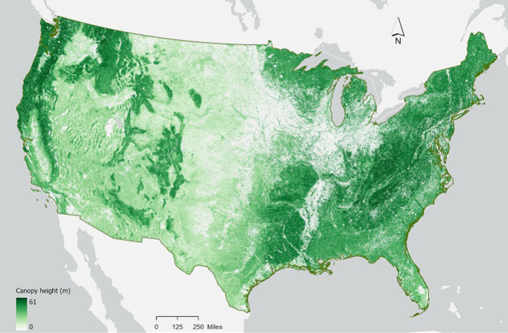
In the second ICESat-2 webinar, learn how to work with land and vegetation height data. A live demonstration will showcase the SlideRule Earth web service which provides on-demand science data processing.
Feb. 12, 2025,2:00-3:15 p.m. EST(1900-2015 UTC)
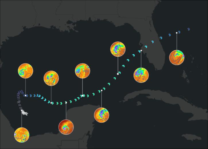
Join us on January 29 at 2PM ET (-05:00 UTC) to learn how to access and use MERRA-2, GPM, TROPICS, and LDAS data provided by NASA's Goddard Earth Sciences Data and Information Services Center (GES DISC) to investigate Hurricane Milton's milestones.
Jan. 29, 2025,2:00-3:00 p.m. EST(1900-2000 UTC)

Learn more about the NASA Commercial Satellite Data Acquisition (CSDA) program vendor Capella Space and how to discover, access, and work with their SAR data products.
Jan. 22, 2025,2:00-3:15 p.m. EST(1900-2015 UTC)
SHOWING 8 OF 205