We are in the process of migrating all NASA Earth science data sites into Earthdata from now until end of 2026. Not all NASA Earth science data and resources will appear here until then. Thank you for your patience as we make this transition.
Read about the Web Unification Project
Webinars
Our online webinars, trainings, and workshops feature experts in various disciplines who share their knowledge in a particular subject area, from data in the cloud to specific data tools.
Featured Webinars

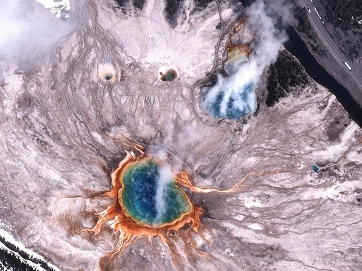
This NASA web-based tool enables near-real time monitoring of inland and coastal water quality across the U.S. and parts of Africa and South America.
July 1, 2026,2:00-3:00 p.m. EDT(1800-1900 UTC)

Learn how the Fire Information for Resource Management System (FIRMS) uses timely composite imagery to identify fire fronts, burned areas, and smoke.
July 16, 2026,2:00-3:30 p.m. EDT(1800-1930 UTC)

Diane Fritz, an associate scientist at NSIDC DAAC, demonstrates how to use the harmony-py Python library to customize data requests from the NASA Earthdata Cloud.
June 2, 2026,3:00-3:30 p.m. EDT(1900-1930 UTC)
Filters

The fourth NASA ICESat-2 data training webinar features ICESat-2 sea ice datasets, services, and tools.
Aug. 6, 2025,2:00-3:30 p.m. EDT(1800-1930 UTC)

Join NASA’s LAADS DAAC to learn how new tools available through Harmony services help users work with Level-1 and atmospheric datasets more efficiently.
July 31, 2025,2:00-3:15 p.m. EDT(1800-1915 UTC)

Join us on Wed., July 30 at 2:00 p.m. EDT (-04:00 UTC) to explore SWOT hydrology data collections of rivers and lakes, and to learn how to work with SWOT hydrology data using tools provided by both NASA's PO.DAAC and the USGS.
July 30, 2025,2:00-3:30 p.m. EDT(1800-1930 UTC)
Learn more about the NASA Commercial Satellite Data Acquisition (CSDA) program vendor Pixxel and how to discover, access, and work with their commercial hyperspectral satellite data products.
July 23, 2025,2:00-3:15 p.m. EDT(1800-1915 UTC)
The USGS EROS User Experience Webinar Series is hosting a free virtual AppEEARS webinar.
July 17, 2025,1:00-2:00 p.m. EDT(1700-1800 UTC)

Join us on Thursday, May 29, to learn about the NASA JPL OPERA Surface Displacement (OPERA-DISP) dataset and how to access and explore the data using ASF DAAC's Displacement Portal.
May 29, 2025,2:00-3:15 p.m. EDT(1800-1915 UTC)
Learn more about the NASA Commercial Satellite Data Acquisition (CSDA) program vendor BlackSky and how to discover, access, and work with BlackSky data.
May 28, 2025,2:00-3:15 p.m. EDT(1800-1915 UTC)
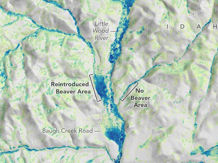
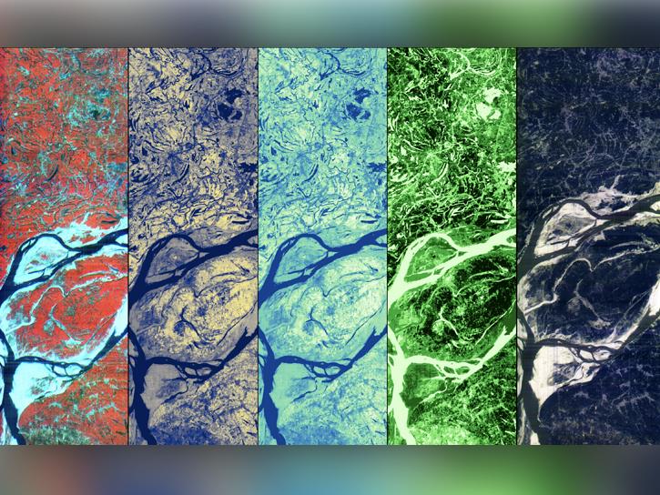
Learn how the new MVPRestore web application enables users to apply mesic vegetation persistence products at restoration sites and measure the impact of restoration activities on mesic ecosystem condition.
May 9, 2025,1:00-2:00 p.m. EDT(1700-1800 UTC)
SHOWING 8 OF 205