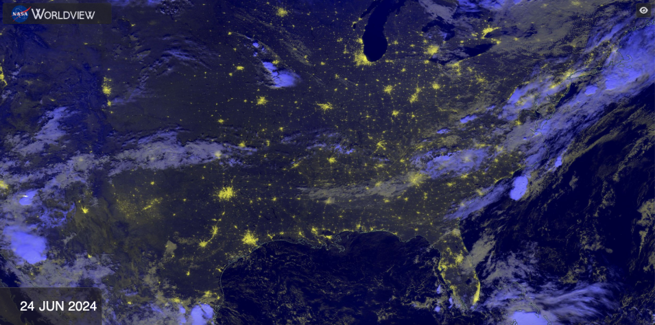
Learn how to use NASA Worldview, an imagery mapping and visualization tool that provides access to over 1,000 data imagery layers—many of which are available within three hours or less after a satellite observation—to enable exploration of Earth's interconnected processes and events. Worldview has been used for time-critical applications such as wildfire monitoring and management, science support through easy-to-access satellite imagery archives, disaster and natural event imagery in the media, and education and outreach.
We are in the process of migrating all NASA Earth science data sites into Earthdata from now until end of 2026. Not all NASA Earth science data and resources will appear here until then. Thank you for your patience as we make this transition.
Read about the Web Unification Project
