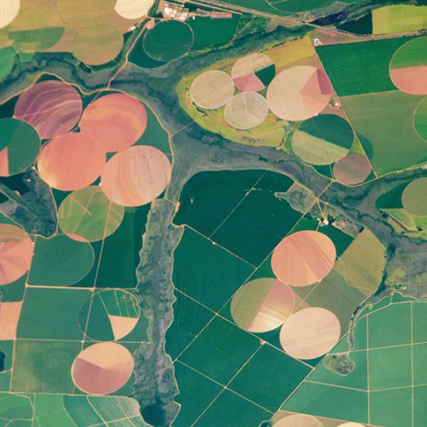
Access a range of datasets and data tools to further your agriculture research.
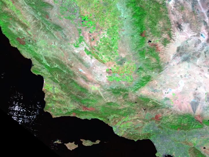
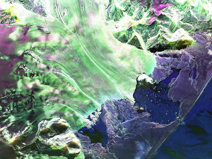
NASA satellites have orbited Earth for decades, gathering data on crop production, land use, and weather. These data products can be used by our nation’s farmers and others in the field of agriculture and water management to drive decision-making. They also help researchers understand the complex interactions among the production, distribution, and consumption of goods and services related to agriculture, food, the environment, and rural development.
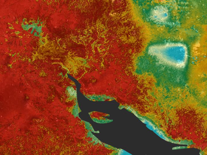
NASA’s Earth data repositories include datasets that measure land surface reflectance, land temperature, vegetation greenness, and crop extent. These measurements are used in models to calculate other agriculture-related factors that cannot be observed directly from a satellite, such as evaporation patterns and water runoff.
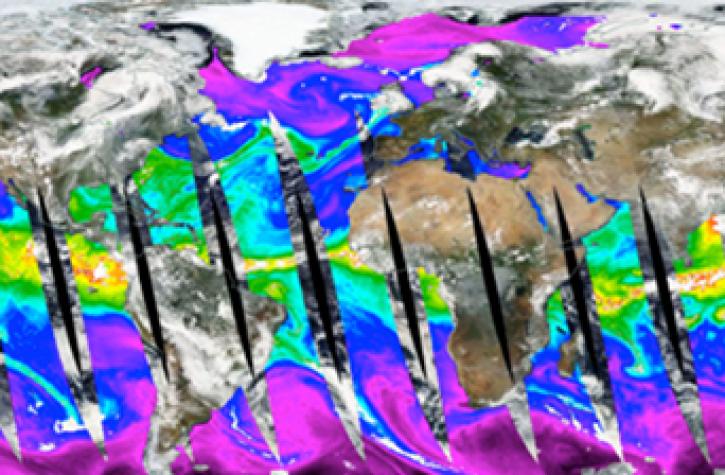
In addition to land use data, weather data from NASA satellites track rainfall, droughts, and severe weather events, helping to determine growing conditions and assess threats to crop production. NASA makes both directly measured data and modeled results available to everyone through the agency’s Earth Data archives.
Learn How to Use Agriculture Production Data
Join Our Community of NASA Data Users
While NASA data are openly available without restriction, an Earthdata Login is required to download data and to use some tools with full functionality.
Learn About the Benefits of Earthdata LoginGet Help
QUESTIONS & SUPPORT
Get help with NASA Earth science data, datasets, tools, services, and metadata on the Earthdata Forum. Experienced staff in the data user community review and answer questions.
Get help on Earthdata ForumForum