We are in the process of migrating all NASA Earth science data sites into Earthdata from now until end of 2026. Not all NASA Earth science data and resources will appear here until then. Thank you for your patience as we make this transition.
Read about the Web Unification Project
Data in Action
All across the planet, NASA Earth science data are used to meet real-world challenges.
Featured Data in Action

5 MIN READ
The eBird project uses NASA data and observations from amateur birdwatchers to provide insights into the decline in avian populations throughout North America.
June 17, 2025

5 MIN READ
A comparison of aurora forecasts with actual satellite observations suggests VIIRS DNB data can enhance space weather prediction efforts.
May 30, 2025
Filters
5 MIN READ
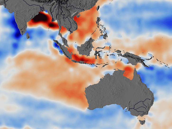
Researchers used ECCO data to understand the mechanisms behind changes in salinity of the Southeast Indian Ocean.
June 5, 2026

6 MIN READ
Arctic river discharge plays a key role in controlling early fall sea ice formation in the Beaufort Sea.
May 13, 2026

7 MIN READ
Users of NASA’s precipitation and land data assimilation products converted liquid precipitation rate to snowfall rate and snow depth using snow-to-liquid ratios.
Jan. 30, 2026

7 MIN READ
The Emergency Environmental Health Dashboard helped local communities assess water quality risks and infrastructure damage following Hurricane Helene and Tropical Storm Chantal.
Nov. 18, 2025

3 MIN READ
Researchers explore using SWOT data to derive two-dimensional estimates of sea ice thickness.
Nov. 13, 2025

5 MIN READ
Learn how ECOSTRESS data may significantly improve wildfire prediction by capturing drought signals that precede wildland fire events.
Sept. 25, 2025

3 MIN READ
The MODIS Near Real-Time (NRT) Global Flood Product helps communities assess the aftermath of flooding in Australia.
July 17, 2025

3 MIN READ
Using SNWG's OPERA DSWx product, USGS is able to monitor streamflow from space, augmenting hazardous in-person collection techniques.
July 8, 2025
SHOWING 8 OF 186