We are in the process of migrating all NASA Earth science data sites into Earthdata from now until end of 2026. Not all NASA Earth science data and resources will appear here until then. Thank you for your patience as we make this transition.
Read about the Web Unification Project
Data in Action
All across the planet, NASA Earth science data are used to meet real-world challenges.
Featured Data in Action

5 MIN READ
The eBird project uses NASA data and observations from amateur birdwatchers to provide insights into the decline in avian populations throughout North America.
June 17, 2025

5 MIN READ
A comparison of aurora forecasts with actual satellite observations suggests VIIRS DNB data can enhance space weather prediction efforts.
May 30, 2025
Filters
5 MIN READ
The eBird project uses NASA data and observations from amateur birdwatchers to provide insights into the decline in avian populations throughout North America.
June 17, 2025
3 MIN READ
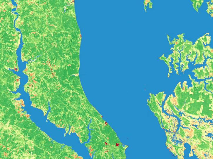
Learn how data collected by GRACE and GRACE-FO contribute to monitoring coastal sedimentation accumulation due to riverine deposition.
June 12, 2025

2 MIN READ
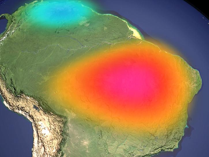
Agricultural burning in Kansas produces smoky skies and healthy crops.
June 6, 2025
5 MIN READ
A comparison of aurora forecasts with actual satellite observations suggests VIIRS DNB data can enhance space weather prediction efforts.
May 30, 2025

4 MIN READ
Altimetry data and models reveal how a volcanic eruption generated a tsunami.
March 20, 2025

3 MIN READ
For more than 30 years, NASA and its partners have flown satellite altimeter missions providing essential sea level change data to inform coastal communities.
Feb. 5, 2025
2 MIN READ
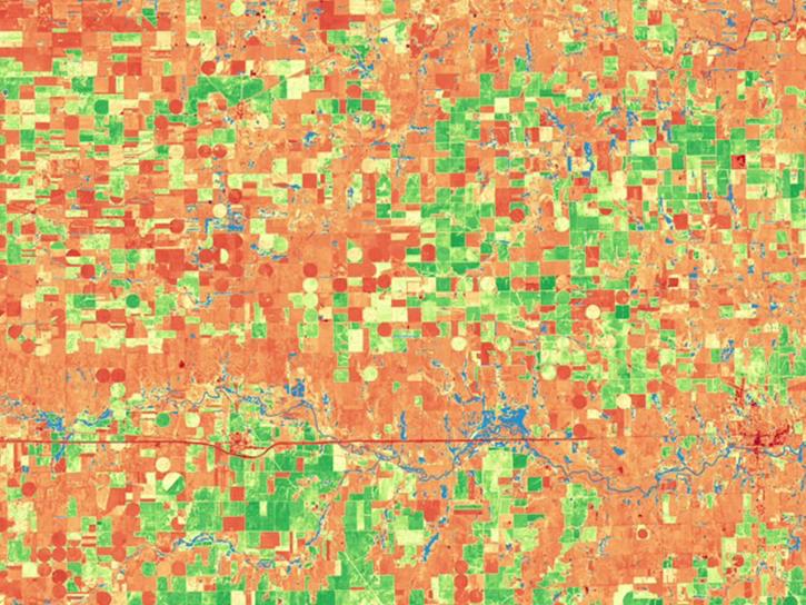
Satellite Needs Working Group (SNWG) solutions, such as Harmonized Landsat and Sentinel-2 (HLS), assist agencies with their existing workflows and decision-making processes by creating actionable science.
Jan. 22, 2025
2 MIN READ
Satellite Needs Working Group (SNWG) solutions, such as Harmonized Landsat and Sentinel-2 (HLS), assist agencies with their existing workflows and decision-making processes by creating actionable science.
Jan. 22, 2025
SHOWING 8 OF 186