NASA's Earth Science Division (ESD) established the Commercial Satellite Data Acquisition (CSDA) program to explore the potential of commercial satellite data in advancing the agency's Earth science research and application objectives. The program aims to identify, assess, and acquire data from commercial providers, which may offer a cost-effective means of supplementing Earth observations collected by NASA, other U.S. Government agencies, and international collaborators.
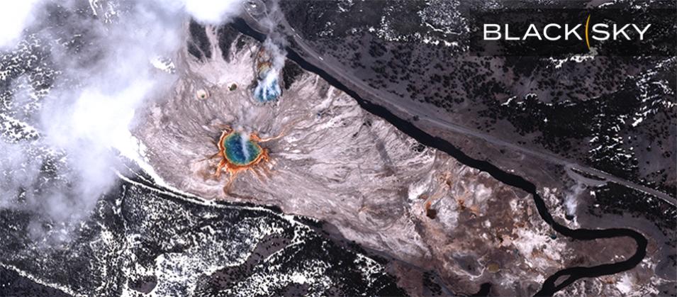
BlackSky is a space-based intelligence company that delivers real-time imagery with global rapid revisit, analytics, and high-frequency monitoring of the most critical and strategic locations, economic assets, and events. Government agencies and businesses around the globe trust BlackSky to help them see, understand, and anticipate change for a decisive strategic advantage.
During this NASA CSDA program vendor webinar, speakers will introduce BlackSky and the company's capabilities for Earth observation with high-resolution and very-high-resolution electro-optical imagery. Participants will learn how BlackSky’s rapid delivery timelines, frequent monitoring, and flexible tasking controls support NASA research and applications like monitoring urban development, disasters, glaciers, tree cover, snow cover, and much more.
