An Earthdata Login is required before users can download data or use selected tools from the Distributed Active Archive Centers (DAACs) that comprise NASA's Earth Observing System Data and Information System (EOSDIS).

Data and information are filtered by nine key topics: Atmosphere, Biosphere, Cryosphere, Human Dimensions, Land Surface, Ocean, Solid Earth, Sun-Earth Interactions, and Terrestrial Hydrosphere. Explore the datasets within your topic of interest.

Browse the variety of Application Programming Interfaces (APIs) Earthdata provides to find, discover, and access NASA Earth science data from the command line.
Data Access Tools
In order to break down the barriers to data discovery, we have created tools that will guide you to the right data for your needs.
Data Pathfinders
Data Pathfinders guide users through the process of selecting application-specific datasets and learning how to use them through intuitive tools, facilitating equal and open access to the breadth of NASA Earth science data.
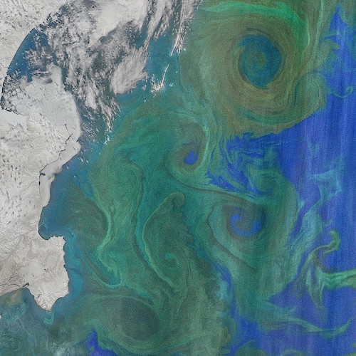
Worldview
Interactively browse and download full-resolution, global satellite imagery from over 1000 data products from NASA’s Land, Atmosphere Near real-time Capability for EO (LANCE) and other NASA data providers.
Earthdata Search
Earthdata Search provides the only means for data discovery, filtering, visualization, and access across all of NASA’s Earth science data holdings.
Near Real-Time Data
These data products are available generally within three hours of a satellite observation and are available through the Land, Atmosphere Near real-time Capability for EO (LANCE).
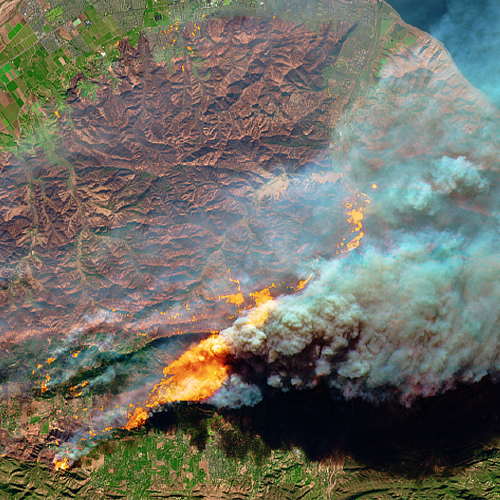
Active Fires Dashboard
The Fire Information for Resource Management System (FIRMS) distributes global Near Real-Time (NRT) active fire data generally within three hours of a satellite observation.
Smallsat Data Explorer
The Smallsat Data Explorer (SDX) allows users to search, discover, and access data acquired through the Commercial Smallsat Data Acquisition (CSDA) program.
Other Data Tools
Explore tools produced at NASA EOSDIS Distributed Active Archive Centers (DAACs) for working with NASA Earth science data.
GIS Resources
Discover, explore, and access GIS content to help you better understand Earth Science using NASA's free and open data. Using GIS, you can leverage NASA's Earth Observations to perform analysis, create maps, and develop applications.
Webinars and Tutorials
NASA tutorials and webinars span the Earth science disciplines and include detailed guidance and instructions for finding and working with NASA Earth science resources.
Need Help from an Expert?
Earthdata Forum
Through the Earthdata Forum, users can interact with subject matter experts from several NASA Distributed Active Archive Centers (DAACs) to discuss general questions, research needs, and data applications. Users can query how to access, view, and interpret data.
Community Forum
The Earthdata community forums provide a place for data users to ask questions and interact with peers. Whether you are a novice or expert data user, have a question about processing, validation, or analysis of data, these forums allow you to interact with other members of the community interested in these topics.
More Resources
Backgrounders
Backgrounders are informational articles providing a deeper explanation of key topics in Earth science to aid in understanding data and data use.