Harmonized Landsat Sentinel-2 (HLS) Data

Harmonized Landsat Sentinel-2 (HLS) imagery is produced from data acquired by the Operational Land Imager (OLI) and OLI-2 instruments aboard the joint NASA/USGS Landsat 8 and Landsat 9 satellites and the Multi-Spectral Instrument (MSI) aboard the ESA (European Space Agency) Sentinel-2A and Sentinel-2B satellites.

HLS data is available from Earthdata Search.
You Might Also Be Interested In

Filter By

Content type
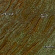
True color satellite image showing fall colors in red among green vegetation in rolling ridges of Appalachia.
Worldview Image of the Week
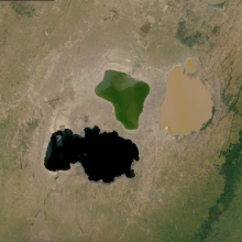
True-color corrected reflectance image of Lakes in Ethiopia: Lakes Shalla/Shala, Abiata/Abijatta, and Langano on 5 November 2021
Worldview Image of the Week
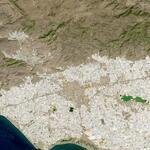
Landsat image of Poniente Almeriense, Spain; clear sky image.
Worldview Image of the Week
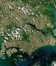
Singapore on 10 May 2021 (Sentinel-2A&B/MSI) - Feature Grid
Worldview Image of the Week