Synthetic Aperture Radar (SAR)

Synthetic aperture radar, or SAR, uses the microwave region of the electromagnetic spectrum. SAR can penetrate cloud cover and “see through” darkness and weather, allowing a unique view of flood inundation, land cover changes, and modifications of Earth’s surface from landslides, earthquakes, and background tectonic motion. NASA’s home for SAR data and imagery is the Alaska Satellite Facility Distributed Active Archive Center (ASF DAAC). 
You Might Also Be Interested In

Filter By

Content type
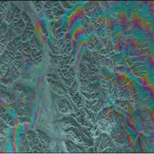
This Synthetic Aperture Radar (SAR) interferogram includes the epicenters of the October 23, 2002, and November 3, 2002 Denali Fault earthquakes, which are located at the extreme western end of the fault rupture.
Article
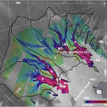
Glaciologists used MAMM radar data to clock the movement of glaciers feeding the enormous Ross Ice Shelf.
Article
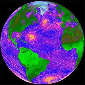
In this QuikSCAT image, ocean colors indicate wind speed (blue is low, yellow is high), and white streamlines indicate wind direction.
Article
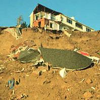
In a landslide triggered by the 1994 Northridge, California, earthquake, this house crumbled near Golden, Colorado.
Article
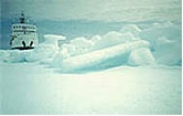
The above image shows a research vessel at the edge of a first year ice floe.
Article
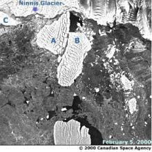
The image above shows a glacier
Article
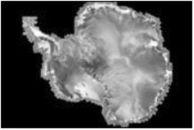
The image above shows a revised mosaic map of Antarctica produced by the RAMP project.
Article