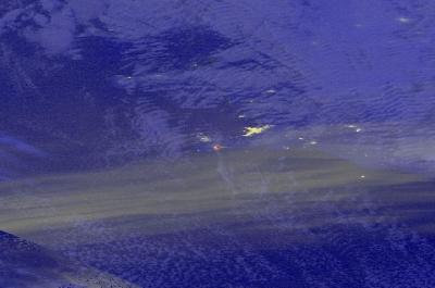
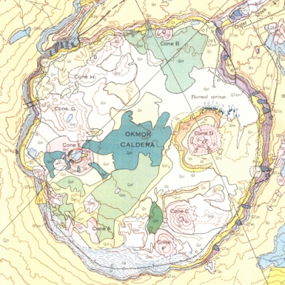
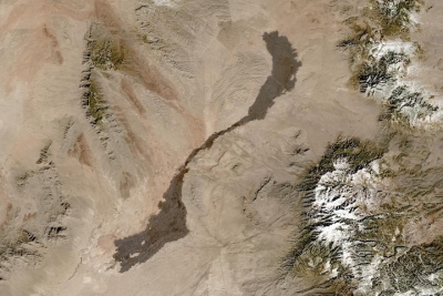
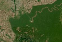
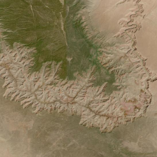
The most active volcano on Earth is Hawaii’s own Kilauea, which has been erupting almost continuously for 200 years. Volcanic eruptions are an example of natural forces altering the features and landforms on the surface of the planet’s solid crust. These ongoing changes, known as geomorphic processes, affect geomorphic landforms such as rivers and valleys, coasts, glaciers, islands, tectonic plates, mountains, volcanoes, craters, and various other solid-earth features. The processes can be chemical and/or physical, acting from within or outside the landform, and producea new or changed feature.
NASA has decades of data for studying geomorphic landforms and processes that help us understand Earth’s origins and ancient geologic and natural history, aid in protecting and preparing for landslides and other natural disasters, and predict what the surface of our planet will be like in the near and far future.
Join Our Community of NASA Data Users
While NASA data are openly available without restriction, an Earthdata Login is required to download data and to use some tools with full functionality.
Learn About the Benefits of Earthdata LoginFrequently Asked Questions
Earthdata Forum
Our online forum provides a space for users to browse thousands of FAQs about research needs, data, and data applications. You can also submit new questions for our experts to answer.
Submit Questions to Earthdata Forumand View Expert Responses