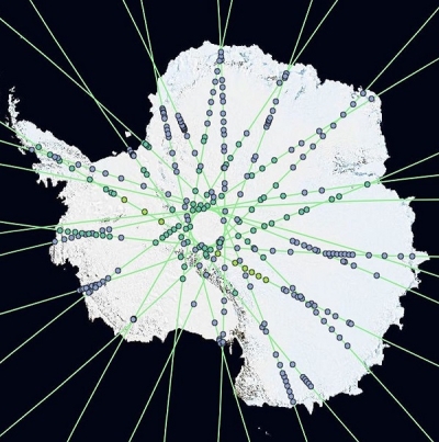
The Ice, Cloud, and land Elevation Satellite-2 (ICESat-2) mission, based upon recommendations and findings from the 2018 Satellite Needs Working Group (SNWG) assessment survey, have developed five new ICESat-2 Quick Look (QL) products now available from the National Snow and Ice Data Center (NSIDC) Distributed Active Archive Center (DAAC) and the Land, Atmosphere Near real-time Capability for EOS (LANCE) system. These QL products directly address the needs identified by federal agencies during the SNWG survey and assessment process. Users were interested in several standard ICESat-2 products for mapping sea ice, water extent, and vegetation, but needed reduced product latency to improve their adoption for decision-making.
These QL products expedite information from ICESat-2 with data available approximately 72 hours after collection, well ahead of the typical 45-day delay for final data products. To reduce latency, they use rapid orbit determinations about the position of the observatory which results in larger geolocation uncertainties (up to 100 m) that translates into additional uncertainties in the retrieval of surface height. Meanwhile, standard ICESat-2 products are based on the best possible solutions for the position of the observatory in space through time, a geolocation uncertainty of < 5 m, reduced uncertainties in retrieved parameters, and remain the best product to use for scientific research.

These new ICESat-2 QL products increase the usefulness of ICESat-2 mission data and opportunities for new user communities interested in operational decision-making and related applications. Descriptions of the five new QL data products available to users are provided below, where the QL suffix designates them as an expedited version of the standard product.
ATLAS/ICESat-2 L3A Sea Ice Height Quick Look (ATL07QL)
ATL07QL is the QL version of ATL07 which contains along-track heights for sea ice and open water leads at varying length scales relative to the WGS84 ellipsoid (ITRF2014 reference frame) after adjustment for geoidal and tidal variations, and inverted barometer effects. Height statistics and apparent reflectance are also provided.
ATLAS/ICESat-2 L3A Calibrated Backscatter Profiles and Atmospheric Layer Characteristics Quick Look (ATL09QL)
ATL09QL is the QL version of ATL09 which contains calibrated, attenuated backscatter profiles, layer integrated attenuated backscatter, and other parameters including cloud layer height and atmospheric characteristics obtained from the data.
ATLAS/ICESat-2 L3A Land and Vegetation Height Quick Look (ATL08QL)
ATL08QL is the QL version of ATL08. The data set ATL08 contains along-track heights above the WGS84 ellipsoid (ITRF2014 reference frame) for the ground and canopy surfaces. The canopy and ground surfaces are processed in fixed 100 m data segments, which typically contain more than 100 signal photons.
ATLAS/ICESat-2 L3A Sea Ice Freeboard Quick Look (ATL10QL)
ATL10QL is the QL version of ATL10. The data set ATL10 contains estimates of sea ice freeboard, calculated using three different approaches. Sea ice leads used to establish the reference sea surface and descriptive statistics used in the height estimates are also provided.
ATLAS/ICESat-2 L3A Along Track Inland Surface Water (ATL13QL)
ATL13QL is the QL version of ATL13. The data set ATL13 contains along-track surface water products for inland water bodies. Inland water bodies include lakes, reservoirs, rivers, bays, estuaries and a 7 km near-shore buffer. Principal data products include the along-track water surface height and standard deviation, subsurface signal (532 nm) attenuation, significant wave height, wind speed, and coarse depth to bottom topography where data permit.
Both the QL and standard data products are available through NSIDC. Standard products replace the QL versions and become the permanently archived product after approximately 45 days.
The SNWG Stakeholder Engagement Program (SEP) supports the use of these projects by bringing together capabilities from across NASA and other partner organizations to assist with product training and outreach. As an SEP effort, ICESat-2 related content and training are curated online at NASA Earthdata’s SEP site. Also on the site is information made available from the NSIDC DAAC and the ICESat-2 mission science team.
The ICESat-2 user community is strongly engaged in open-source science efforts through collaborative hackathons and outreach efforts such as their 2018 Hackweek, which resulted in the development of several new analysis packages and software tools available to the community, as well as their 2020 event and upcoming 2022 Hackweek efforts. Since the QL and standard products are equivalent except for their assumptions about the observatory and resulting differences in uncertainties, tools developed against the standard products will also support use of QL versions. Expedited data and open-sourced tools will continue to support a strong research and applications user community and further address the needs expressed by SNWG stakeholders and the broader scientific community.
This effort is managed by the SNWG Management Office (SNWG MO) at the Interagency Implementation and Advanced Concepts Team (IMPACT).