Moderate-Resolution Imaging Spectroradiometer (MODIS)

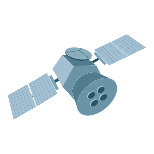
satellite

The Moderate Resolution Imaging Spectroradiometer (MODIS) continually collects data in 36 spectral channels with global coverage every 1 to 2 days. Its exceptionally broad spectral range enables MODIS data to be used in studies across numerous disciplines, including vegetative health, changes in land cover and land use, oceans and ocean biology, sea surface temperature, and cloud analysis. It also is used extensively for monitoring fires and natural hazards along with oil spills. An important attribute of MODIS data is the availability of MODIS data products in real-time and near real-time. Direct broadcast stations around the world download raw MODIS data in real-time directly from the satellite, while NASA’s Land, Atmosphere Near Real-time Capability for EOS (LANCE) provides several MODIS products within three hours of satellite observation. 
You Might Also Be Interested In

Filter By

Content type
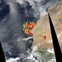
Satellite image of the west coast of Africa with colored dots ranging from green to crimson indicating high concentrations of dust.
Worldview Image of the Week
This thumbnail shows a part of the initial screen a user sees when accessing TESViS's FIxed Subset Tool. There is a grapscale map of the world, showing continents in white. In several places over the land masses are green dots representing the location of the more than 3,000 field and flux tower sites whose data is used in the validation of models and remote sensing products.
Article
A headshot of Dr. Eric Wilcox, Research Professor of Atmospheric Science at the Desert Research Institute. Dr. Wilcox, who is wearing glasses and a light blue oxford shirt is standing, arms crossed, before a tree-filled background.
Data User Profile
This is a general image for new datasets.
Program
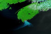
False color image of fires and smoke in Nova Scotia, Canada on 29 May 2023 from the MODIS instrument aboard the Terra satellite
Worldview Image of the Week
Headshot of Dr. Helen Poulos, Adjunct Associate Professor in Wesleyan University's College of the Environment
Data User Profile