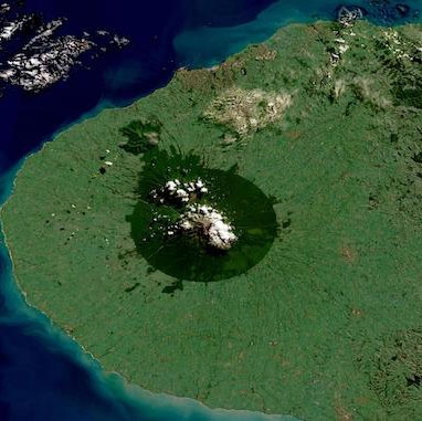
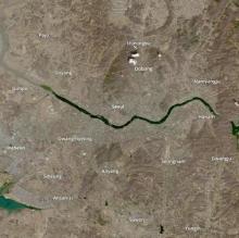
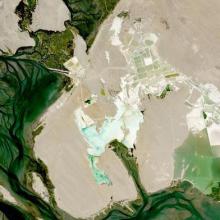
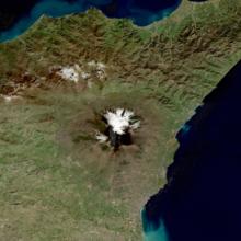
Harmonized Landsat Sentinel-2 (HLS) imagery is produced from data acquired by the Operational Land Imager (OLI) and OLI-2 instruments aboard the joint NASA/USGS Landsat 8 and Landsat 9 satellites and the Multi-Spectral Instrument (MSI) aboard the ESA (European Space Agency) Sentinel-2A and Sentinel-2B satellites.
HLS data is available from Earthdata Search.
