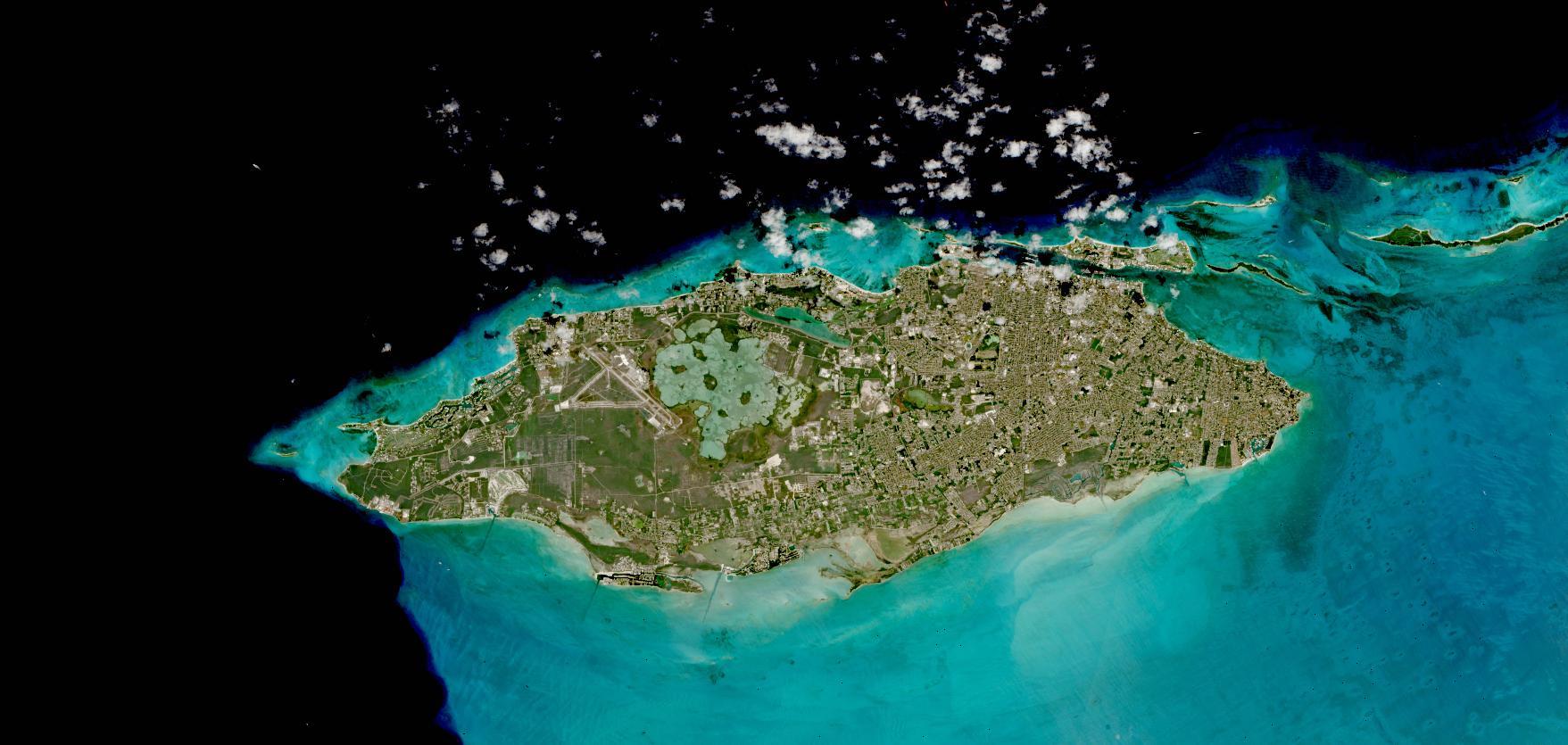
True-color image of Nassau, New Providence Island, The Bahamas. This image was acquired on 18 March 2021 by the Multi-Spectral Instrument (MSI), aboard the European Space Agency's Sentinel-2A and 2B satellites. Nassau is the capital city of The Bahamas, and the city encompasses the island of New Providence. The Bahamas are part of the Lucayan Archipelago and consists of over 700 islands and cays in the Atlantic Ocean. Visible in the imagery is the Lynden Pindling International Airport on the western side of the island next to Lake Killarney, also visible are the shallow, light blue-green waters surrounding the island.
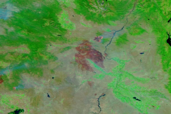
The imagery available in NASA's Worldview is part of the Harmonized Landsat Sentinel-2 (HLS) project which provides 30 meter resolution true-color surface reflectance imagery from the Operational Land Imager (OLI) instrument aboard the NASA/USGS Landsat 8 satellite, and the Multi-Spectral Instrument (MSI) aboard the European Space Agency Sentinel-2 A and B satellites. The data from the two instruments aboard the three satellites are processed through a set of algorithms to make the imagery consistent and comparable across the instruments. This includes atmospheric correction, cloud and cloud-shadow masking, spatial co-registration and common gridding, illumination and view angle normalization, and spectral bandpass adjustment.
Visit Worldview to visualize near real-time imagery from NASA's EOSDIS, and check out more Worldview weekly images in our archive.
Dataset doi:10.5067/HLS/HLSS30.015