Synthetic Aperture Radar (SAR)

Synthetic aperture radar, or SAR, uses the microwave region of the electromagnetic spectrum. SAR can penetrate cloud cover and “see through” darkness and weather, allowing a unique view of flood inundation, land cover changes, and modifications of Earth’s surface from landslides, earthquakes, and background tectonic motion. NASA’s home for SAR data and imagery is the Alaska Satellite Facility Distributed Active Archive Center (ASF DAAC). 

You Might Also Be Interested In

Filter By

Content type
Rowena Lohman, Assistant Professor, Department of Earth and Atmospheric Sciences, College of Engineering, Cornell University
Data User Profile
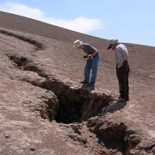
Researchers Matthew Pritchard and Gabriel Gonzalez examine a large crack caused by an earthquake in the Atacama Desert of northern Chile.
Article
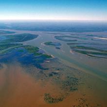
The Atchafalaya River delta meets the Gulf of Mexico.
Article
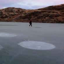
Methane seeps to the surface of this Arctic lake.
Article
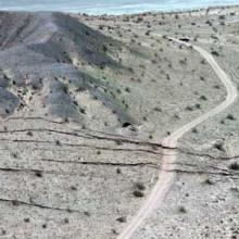
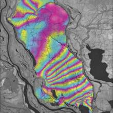
The April 2010 El Mayor-Cucapah earthquake revealed a previously undiscovered fault in the desert of Baja California, Mexico.
Article
Photograph of Mount McKinley
Article
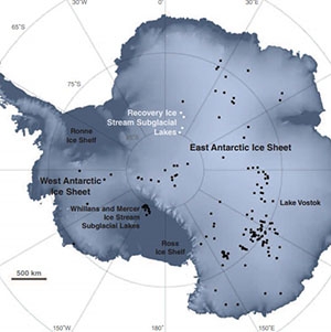
Over 200 subglacial lakes have been discovered underneath the ice of Antarctica, some of which are marked with white and black with dots on this map.
Article