Atmospheric Science Data Center (ASDC)

Convective Processes Experiment—Cabo Verde Campaign Airborne Data Released
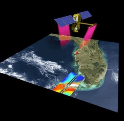
The Convective Processes Experiment—Cabo Verde (CPEX-CV) campaign took place in September 2022 and operated out of Sal, an island in Cabo Verde off the coast of West Africa. The campaign’s goal was to investigate atmospheric dynamics, marine boundary layer properties, convection, the Saharan Air Layer, and their interactions across various spatial scales to improve the understanding and predictability of process-level lifecycles in the tropical East Atlantic region. Measurements from CPEX-CV will assist in moving forward from previous CPEX and CPEX-Aerosol & Winds missions, the calibration and validation of satellite measurements, and the deployment of airborne sensors.
CPEX-CV campaign data access and more information
Goddard Earth Sciences Data and Information Services Center (GES DISC)

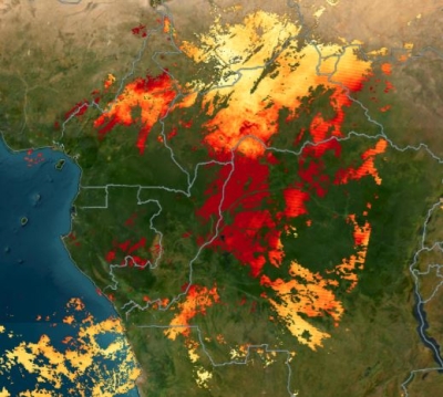
New Landslide Hazard Maps Available from the Landslide Hazard Assessment for Situational Awareness (LHASA) Version 2.0 Model
GES DISC has released the Global Landslide Nowcast Version 2.0.0 data from the Landslide Hazard Assessment for Situational Awareness Version 2.0 (LHASA 2.0) model. LHASA 2.0 identifies locations with high landslide potential at daily temporal resolution. Because precipitation is a common trigger of landslides, LHASA 2.0 combines satellite‐based precipitation estimates from Global Precipitation Measurement (GPM) Integrated Multi-satellitE Retrievals for GPM (IMERG) data products with information on slope, lithology, fault zones, snow mass, and soil moisture.
Land Processes Distributed Active Archive Center (LP DAAC)
ECOSTRESS Gridded and Tiled Radiance Version 2.0 Data Products Released
These ECOsystem Spaceborne Thermal Radiometer Experiment on Space Station (ECOSTRESS) products offer a spatial resolution of 70 meters and are produced by NASA’s Jet Propulsion Laboratory (JPL). The release includes the gridded and tiled radiance data products from October 26, 2022 to present. (Historical data processing will begin shortly.)
ECOSTRESS data access and more information

Global Land Cover Mapping and Estimation (GLanCE) Data Product Expanded
The expanded Making Earth System Data Records for Use in Research Environments (MEaSUREs) Global Land Cover Mapping and Estimation (GLanCE) data product now contains continental coverage of North America and Europe. GLanCE provides 30-meter global land cover and land cover change data from 2001 to 2019. GLanCE datasets are designed for a wide range of applications, including ecosystem, climate, and hydrologic modeling; monitoring the response of terrestrial ecosystems to climate change; carbon accounting; and land management.
National Snow and Ice Data Center DAAC (NSIDC DAAC)
Version 6 ATLAS/ICESat-2 Level-3A Sea Ice Height, Freeboard Quick Look and Along Track Inland Surface Water Data Quick Look Datasets
Version 6 of these three expedited latency datasets are now available through NASA's NSIDC DAAC, and are part of NASA's Land, Atmosphere Near real-time Capability for EOS (LANCE).
- Sea Ice Height Quick Look and Sea Ice Freeboard Quick Look Version 6
Beginning May 25, 2023, the sea ice concentration data used in processing this dataset were switched from AMSR-E/AMSR2 Unified Level 3 Daily 12.5 km Brightness Temperatures, Sea Ice Concentration, Motion and Snow Depth Polar Grids, Version 1 to Near-Real-Time NOAA/NSIDC Climate Data Record of Passive Microwave Sea Ice Concentration, Version 2
Sea Ice Height and Freeboard data access and more information - Along Track Inland Surface Water Quick Look Version 6
This dataset contains along-track surface water products for inland water bodies, including water surface height and subsurface signal attenuation
Along Track Inland Surface Water data access and more information
Oak Ridge National Laboratory DAAC (ORNL DAAC)

Tree Cover Estimates for Mexico (2016-2018) Dataset Released
This new dataset from NASA's Carbon Monitoring System (CMS) provides multi-year percent tree cover estimates for the entirety of Mexico at 30-meter (m) spatial resolution. The data are derived from the 30 m Landsat Collection 1 product and a hierarchical, deep-learning approach developed for the conterminous United States, and can be helpful for studies of carbon cycling, land cover and land use change, and more.
Tree Cover Estimate for Mexico data access and more information
Physical Oceanography DAAC (PO.DAAC)
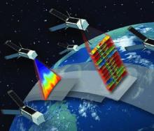
JPL International Space Station-RapidScat Sigma-0 Level-1B and Level-2A, Version 2.0 Datasets Released
The International Space Station-RapidScat Sigma-0 Level-1B and Level-2A Version 2.0 datasets provide backscatter cross-section (sigma-0) measurements from the RapidScat instrument flown aboard the International Space Station. The version 2.0 datasets represent a complete historical reprocessing of the International Space Station RapidScat data record and combine three time periods where signal to noise ratios varied. Measurements cover 61° north to 61° south latitude and provide observations of diurnal and semi-diurnal variability over seasonal time scales. Temporal coverage extends from October 3, 2014, to August 19, 2016. The Level-1B data were used to derive surface wind vectors provided in the corresponding Level-2B products. Sigma-0 retrievals provided in the Level-1B dataset are binned to 12.5-km and 25-km wind vector cells in the two Level-2A datasets.
RapidScat Sigma-0 Level-1B and Level-2A data access and more information