We are in the process of migrating all NASA Earth science data sites into Earthdata from now until end of 2026. Not all NASA Earth science data and resources will appear here until then. Thank you for your patience as we make this transition.
Read about the Web Unification Project
ORNL DAAC
Oak Ridge National Laboratory DAAC
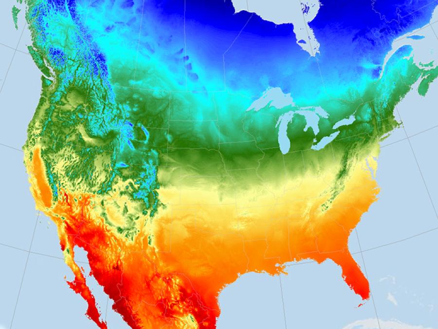
NASA's Oak Ridge National Laboratory Distributed Active Archive Center (ORNL DAAC) specializes in data and information relevant to terrestrial biogeochemistry, ecology, and environmental processes—all of which are critical to understanding the dynamics of Earth's biological, geological, and chemical components.
Biogeochemical Dynamics Data
ORNL DAAC archives data and model products that were generated with funding from NASA's Terrestrial Ecology program and other programs within NASA's Carbon Cycle and Ecosystems focus area. Datasets are organized by both the name of the associated NASA project and by science themes in biogeochemical and ecological research.
Location
Oak Ridge, TN
Manager
Michele Thornton
View All People
Founded
1993
Partners
The mission of ORNL DAAC is to assemble, distribute, and provide data services for a comprehensive archive of terrestrial biogeochemistry and ecological dynamics observations and models to facilitate research, education, and decision-making in support of NASA's Earth Science.
Our goals are to:
- Serve as the primary data repository for data derived from NASA's Terrestrial Ecology program and Carbon Cycle Science and Ecosystems focus area.
- Provide ground- and aircraft-based data to assess the accuracy and uncertainty of NASA's Earth Science missions.
- Work with NASA to develop best practices, tools, and training for scientists who generate and use NASA Earth-observing data.
- Facilitate synthesis and analysis by providing and integrating the diverse data required to address critical questions.
ORNL DAAC regularly partners with other Earth Observation System Data and Information System (EOSDIS) data centers and the following organizations towards shared goals.
ICSU WDS
The International Council for Science World Data System (ICSU WDS) promotes stewardship and access to data and data services across a range of science disciplines.
ABoVE Working Groups
The Artic Boreal Vulnerability Experiment (ABoVE) Working Groups define standards of data management, services, models, variables, and products for ABoVE. ORNL DAAC staff participate in the Core Variables & Standards and the Geospatial Products & Standards groups.
ESDSWG
The Earth Science Data System Working Groups (ESDSWG) is a NASA organization that focuses on the exploration and development of recommendations derived from pertinent community insights of NASA's heterogeneous and distributed Earth science data systems.
ESIP
The Federation of Earth Science Information Partners (ESIP) is a networked community that brings together science, data, and information technology practitioners.
USGS CSS
The United States Geological Survey (USGS) Core Science Systems (CSS) delivers natural science information to the United States in support of smart decisionmaking.
CCSI Data Centers
ORNL DAAC is a member of the ORNL Climate Change Science Institute (CCSI) and often contributes to its other data centers.
ARM
The Atmospheric Radiation Measurement Archive (ARM) provides observations to improve the understanding of clouds and aerosols.
NGEE Arctic
The Next-Generation Ecosystem Experiments (NGEE Arctic) improve climate model predictions through advanced understanding of coupled processes in Arctic terrestrial ecosystems.
SPRUCE
The Spruce and Peatland Responses Under Climatic and Environmental Change (SPRUCE) experiment assesses the response of northern peatland ecosystems to increases in temperature and exposures to elevated atmospheric carbon dioxide concentrations.
CoreTrustSeal Certified Repository
We are proud to be a CoreTrustSeal Certified Repository. CoreTrustSeal is an international, community based, non-governmental, and non-profit organization promoting sustainable and trustworthy data infrastructures.