| Study Dates | May 1, 1999 - February 29, 2004 |
|---|---|
| Season of Study | Austral summer, boreal fall, boreal spring, boreal summer |
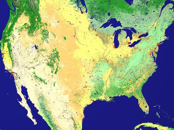
| Region | United States, Canada, Brazil |
| Spatial Bounds | N: 72°N S: 4°S W: 157°W E: 54.5°W |
| Focus Areas | Carbon Cycle and Ecosystems |
| Geophysical Concepts | Ecosystems/Biogeochemical Interactions Land Characteristics Soil Properties |
| Scientific Topics | Leaf Area Index Net Primary Production Gross Primary Production Land Cover Vegetation Radiation Biomass Ecosystem Processes Satellite Validation |


BigFoot
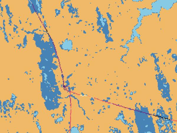
The objective of the BigFoot project was to provide ground validation of Moderate Resolution Imaging Spectroradiometer (MODIS) Land Discipline Group (MODLand) land cover, leaf area index (LAI), fraction of absorbed photosynthetically active radiation (fAPAR), and net primary production (NPP) products.
The name BigFoot was selected to describe the multiple scales, or footprints, of ground validation that the project encompassed. The BigFoot study plan covered measurement, mapping, and modeling activities at four sites, each equipped with a meteorological flux tower that makes continuous measurements of energy, water, and carbon fluxes for a roughly 1-km2 footprint.
| Platform | Instrument(s) |
|---|---|
| Permanent Land Site | FLUXNET LI-COR Plant Canopy Analyzer Generic-Atmospheric State (Gen-AtmsState) |
The following resources provide additional information about the BigFoot campaign.
