| Study Dates | June 30, 2015 - February 25, 2016 |
|---|---|
| Season of Study | Wet |
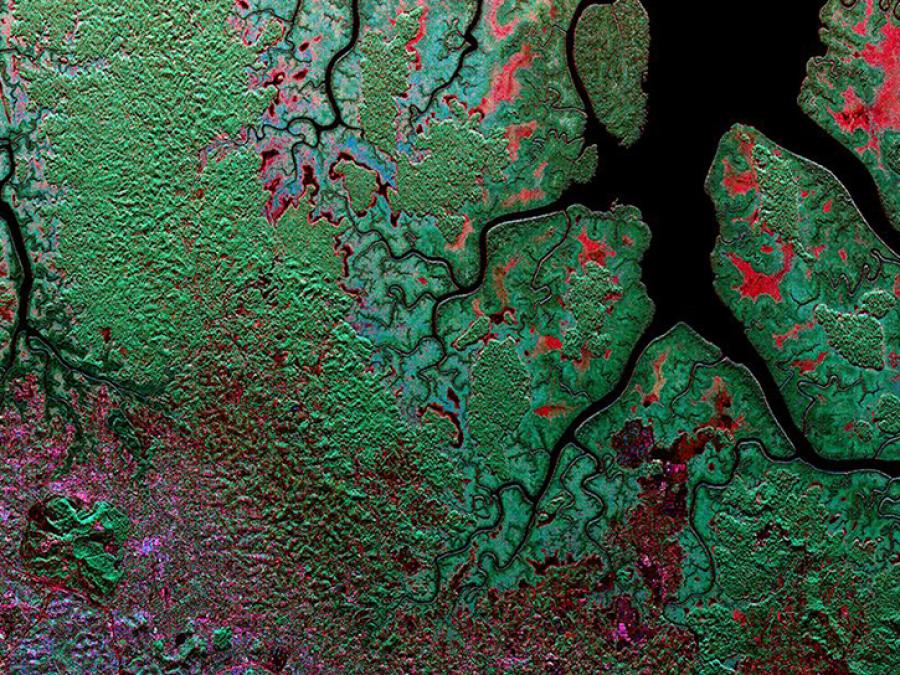
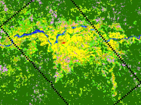
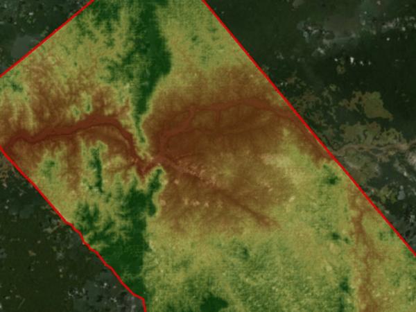
| Region | Gabon tropical forests |
| Spatial Bounds | N: 0° S: 2°S W: 9°E E: 12°E |
| Focus Areas | Carbon Cycle and Ecosystems |
| Geophysical Concepts | Carbon Storage and Processes |
| Scientific Topics | Carbon Tropical Forests Canopy Height Canopy Structure Tropical Forest Topography Biomass Afforestation/Reforestati0on Forest Science Forest Composition/Vegetation Structure Carbon Storage Carbon Cycle |
We are in the process of migrating all NASA Earth science data sites into Earthdata from now until end of 2026. Not all NASA Earth science data and resources will appear here until then. Thank you for your patience as we make this transition.
Read about the Web Unification Project