
| Study Dates | May 5, 1983 - Sept. 23, 1984 |
|---|---|
| Season of Study | Boreal fall, boreal summer |
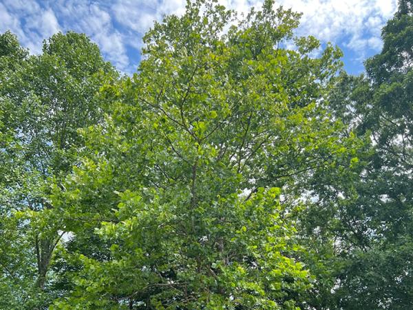
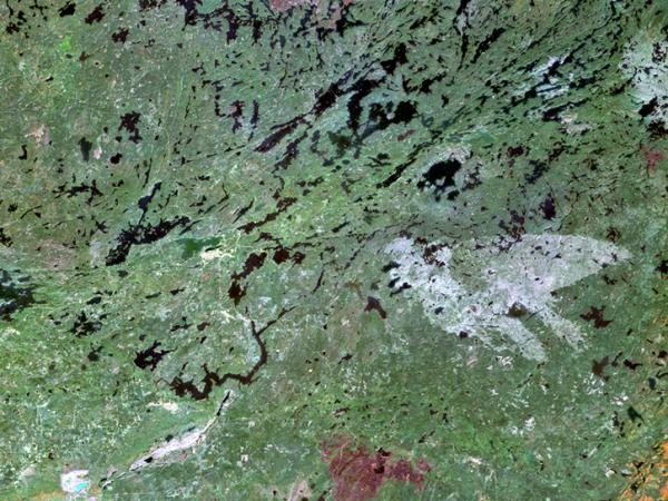
| Region | Superior National Forest near Ely, Minnesota |
| Spatial Bounds | N: 48.2°N S: 47.7°N W: 92.5°W E: 91.8°W |
| Focus Areas | Carbon Cycle and Ecosystems Climate Variability and Change |
| Geophysical Concepts | Biogeochemical Cycles |
| Scientific Topics | Forest Ecology Canopy Reflectance Forest Phenology Vegetation Characteristics Tree Species Classification Leaf Area Index Bark Area Index Net Primary Productivity Biomass Estimation |
We are in the process of migrating all NASA Earth science data sites into Earthdata from now until end of 2026. Not all NASA Earth science data and resources will appear here until then. Thank you for your patience as we make this transition.
Read about the Web Unification Project